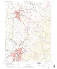
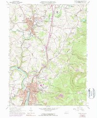
1964 Map of Connellsville
USGS Topo · Published 1973About this map
The industrial and transportation heart of Fayette County is revealed in this 1964 record, dominated by the winding Youghiogheny River and a dense network of competing rail lines. Connellsville and Scottdale serve as the primary urban anchors, their growth shaped by the corridors of the Penn Central, Baltimore and Ohio, and Western Maryland railroads. The landscape is a transition between river-valley industry and the rising elevations of Chestnut Ridge to the east.
Find a feature on this map
105 named features on this map. Tap any name to fly to it.
Don’t see what you’re looking for? This feature index may not catch every label — zoom into the map to look around manually.
Map Details
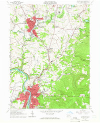
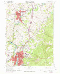
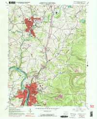
Editions of this 1964 Connellsville Map
5 editions found
Other maps of this area

1900 · Uniontown
USGS Topo · 1:62,500

1902 · Connellsville
USGS Topo · 1:62,500

1922 · Confluence
USGS Topo · 1:62,500

1922 · Donegal
USGS Topo · 1:62,500

1931 · Connellsville
USGS Topo · 1:62,500

1931 · Uniontown
USGS Topo · 1:62,500

1931 · Confluence
USGS Topo · 1:62,500

1933 · Confluence
USGS Topo · 1:62,500

1935 · Donegal
USGS Topo · 1:62,500

1936 · Connellsville
USGS Topo · 1:62,500