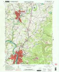
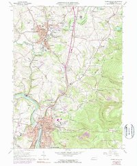
1964 Map of Connellsville
USGS Topo · Published 1977About this map
The Youghiogheny River carves through the heart of this industrial landscape, where the city of Connellsville and the borough of Scottdale serve as the primary anchors for a dense network of smaller settlements and coal-patch towns. The 1964 field survey reveals a region defined by its rail-and-river economy, with the Penn Central, Baltimore and Ohio, and Norfolk and Western railroads threading through the valleys to serve local commerce. To the east, the rising terrain of Chestnut Ridge and Ore Mine Hill signals the transition from the river basin to more varied uplands. Genealogists will find a wealth of local landmarks, from the Green Ridge Memorial Park to numerous rural congregations like Hickory Square Ch and Pennsville Ch. Industrial history is evident in the presence of a Strip Mine and the complex infrastructure of the State Hospital and various township schools.
Find a feature on this map
91 named features on this map. Tap any name to fly to it.
Don’t see what you’re looking for? This feature index may not catch every label — zoom into the map to look around manually.
Map Details
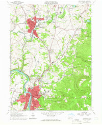
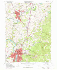
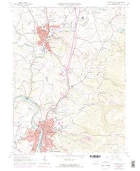
Editions of this 1964 Connellsville Map
5 editions found
Other maps of this area

1900 · Uniontown
USGS Topo · 1:62,500

1902 · Connellsville
USGS Topo · 1:62,500

1922 · Confluence
USGS Topo · 1:62,500

1922 · Donegal
USGS Topo · 1:62,500

1931 · Connellsville
USGS Topo · 1:62,500

1931 · Uniontown
USGS Topo · 1:62,500

1931 · Confluence
USGS Topo · 1:62,500

1933 · Confluence
USGS Topo · 1:62,500

1935 · Donegal
USGS Topo · 1:62,500

1936 · Connellsville
USGS Topo · 1:62,500