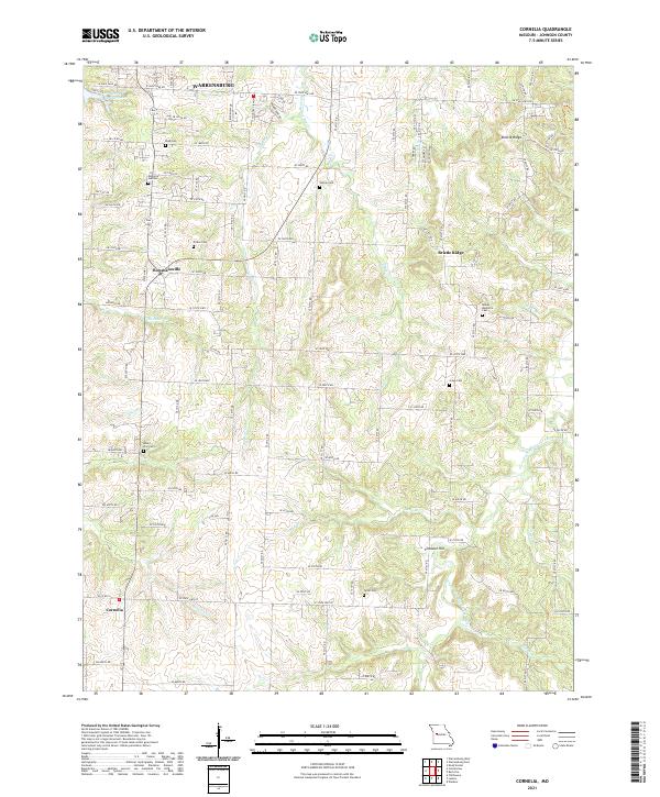
2021 Map of Cornelia
USGS Topo · Published 2021About this map
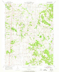
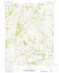
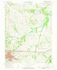
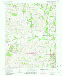
Bristle Ridge dominates the central landscape of this southern Johnson County area, forming a prominent divide between the northern and southern drainages. The northern reach of the map shows the suburban outskirts of Warrensburg near Pertle Springs Lake, while the southern half transitions into more rural terrain marked by numerous creek branches. Small, established communities like Bowmansville and Cornelia serve as anchor points within a grid of county roads that navigate around features like Pinnacle Hill.
Find a feature on this map
66 named features on this map. Tap any name to fly to it.
Don’t see what you’re looking for? This feature index may not catch every label — zoom into the map to look around manually.
Map Details
Editions of this 2021 Cornelia Map
This is the sole edition of this map. No revisions or reprints were ever made.
Historical Maps of Johnson County Through Time
15 maps found
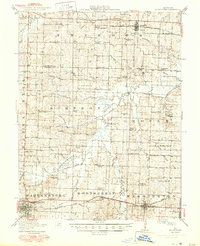
1917 Knobnoster
Johnson County, MO
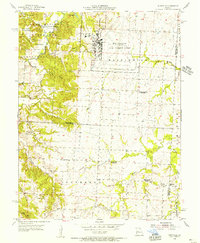
1954 Quick City
Johnson County, MO
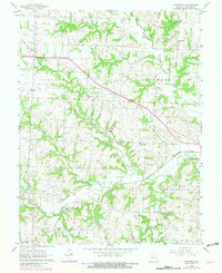
1955 Burtville
Johnson County, MO
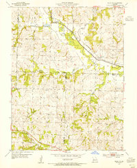
1955 Cornelia
Johnson County, MO
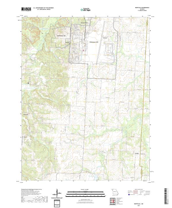
1962 Elm
Johnson County, MO
1962 Warrensburg East
Johnson County, MO
1962 Warrensburg West
Johnson County, MO
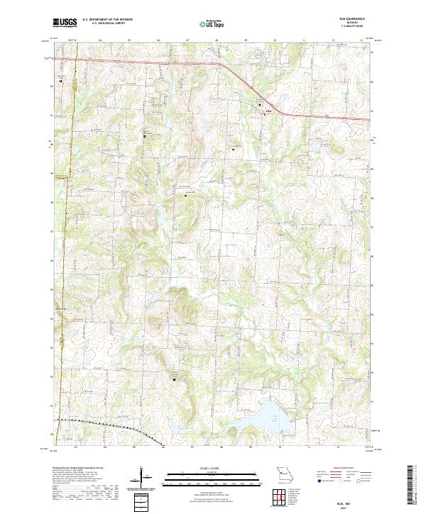
1963 Pittsville
Johnson County, MO
2021 Burtville
Johnson County, MO
2021 Cornelia
Johnson County, MO
2021 Elm
Johnson County, MO
2021 Pittsville
Johnson County, MO
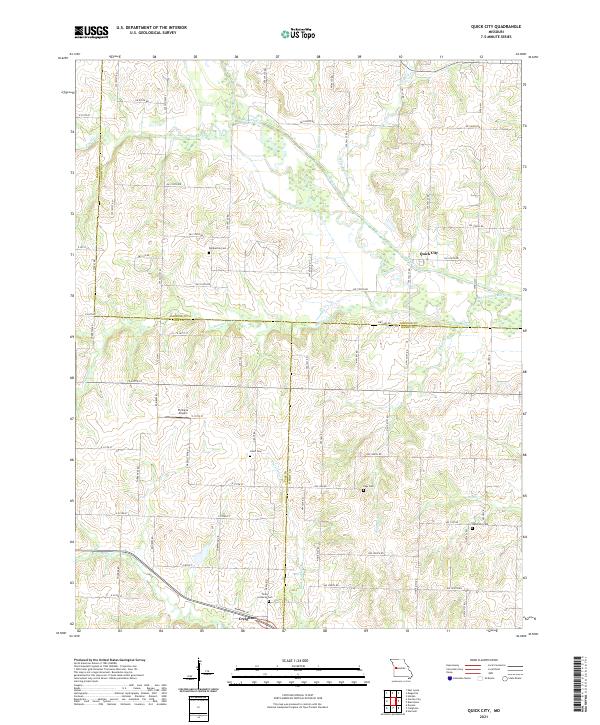
2021 Quick City
Johnson County, MO
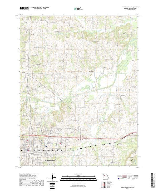
2021 Warrensburg East
Johnson County, MO
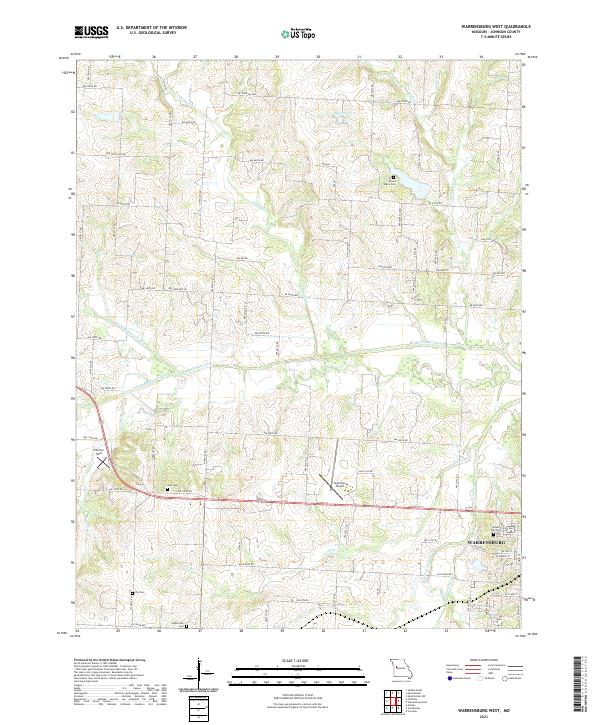
2021 Warrensburg West
Johnson County, MO