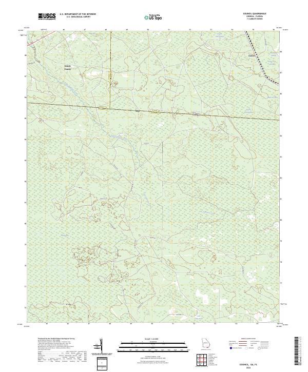
2024 Map of Council
USGS Topo · Published 2024About this map
Okefenokee National Wildlife Refuge reaches into the northeastern corner of this landscape, marking the transition into the swampy wilderness of the Georgia-Florida borderlands. The settlement of Council sits at a crossroads near the edge of the refuge, while the surrounding terrain is defined by a complex network of wetland features. The course of Little Suwannee Creek meanders through the central portion of the map, flanked by numerous large bays and depressions such as Sandlin Bay, Mett Bay, and Double Run Swamp.
Find a feature on this map
31 named features on this map. Tap any name to fly to it.
Don’t see what you’re looking for? This feature index may not catch every label — zoom into the map to look around manually.
Map Details
Editions of this 2024 Council Map
This is the sole edition of this map. No revisions or reprints were ever made.
Historical Maps of Florida Through Time
28 maps found
1955 Council
Clinch County, GA

1967 Colon
Clinch County, GA
1967 Spooner
Clinch County, GA
1967 Strange Island
Clinch County, GA
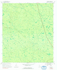
1968 Headlight
Clinch County, GA
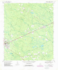
1968 Homerville East
Clinch County, GA

1968 Midway
Clinch County, GA

1971 Thelma
Clinch County, GA
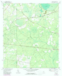
1972 Sirmans
Clinch County, GA
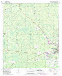
1978 Homerville West
Clinch County, GA
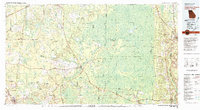
1980 Okefenokee Swamp
Clinch County, GA
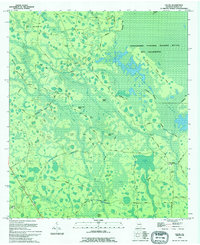
1994 Colon
Clinch County, GA
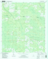
1994 Council
Clinch County, GA
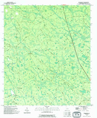
1994 Headlight
Clinch County, GA
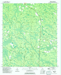
1994 Midway
Clinch County, GA
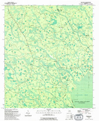
1994 Spooner
Clinch County, GA
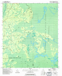
1994 Strange Island
Clinch County, GA
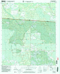
2006 Council
Clinch County, GA
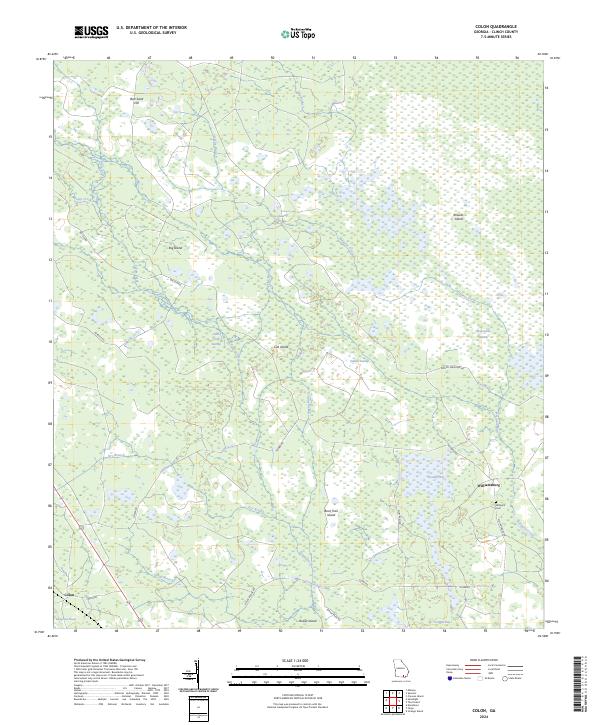
2024 Colon
Clinch County, GA
2024 Council
Clinch County, GA
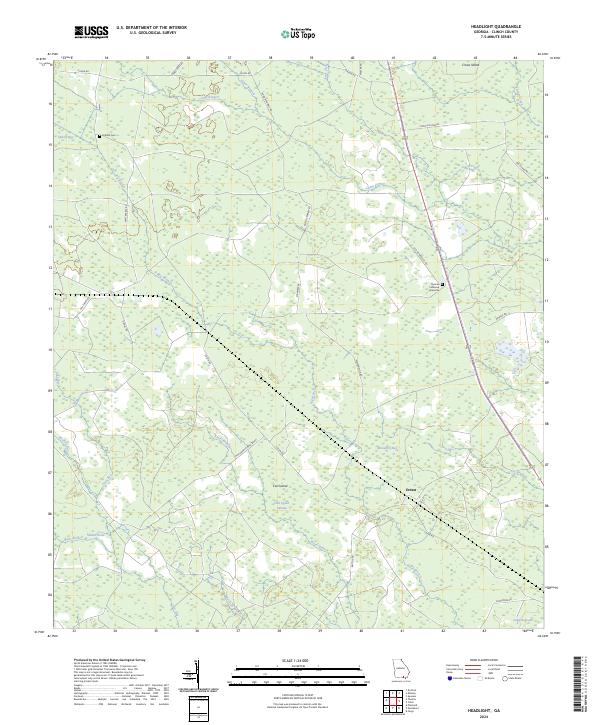
2024 Headlight
Clinch County, GA
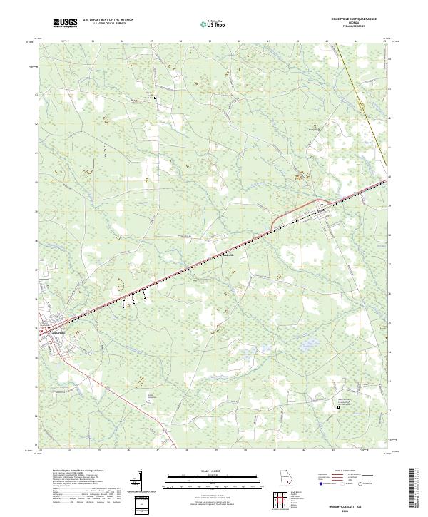
2024 Homerville East
Clinch County, GA
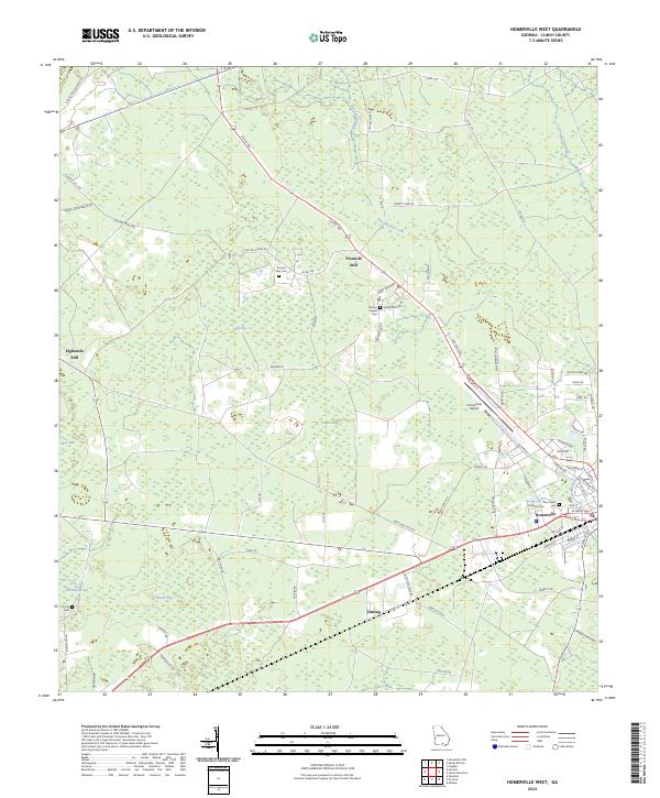
2024 Homerville West
Clinch County, GA
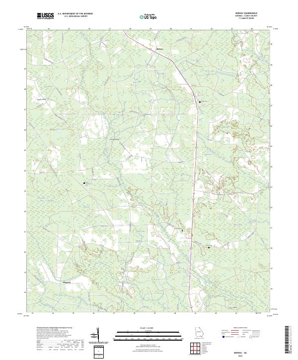
2024 Midway
Clinch County, GA
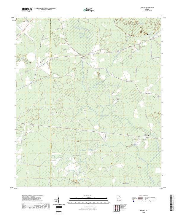
2024 Sirmans
Clinch County, GA
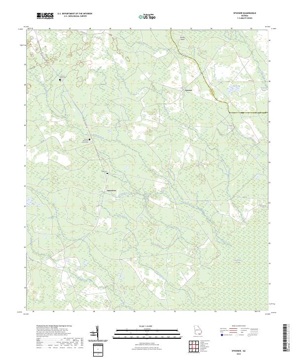
2024 Spooner
Clinch County, GA
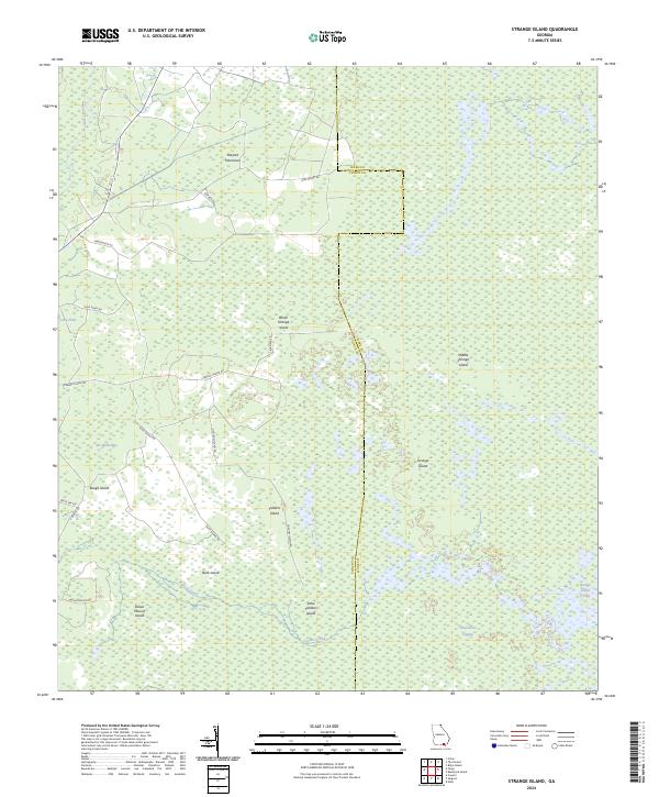
2024 Strange Island
Clinch County, GA
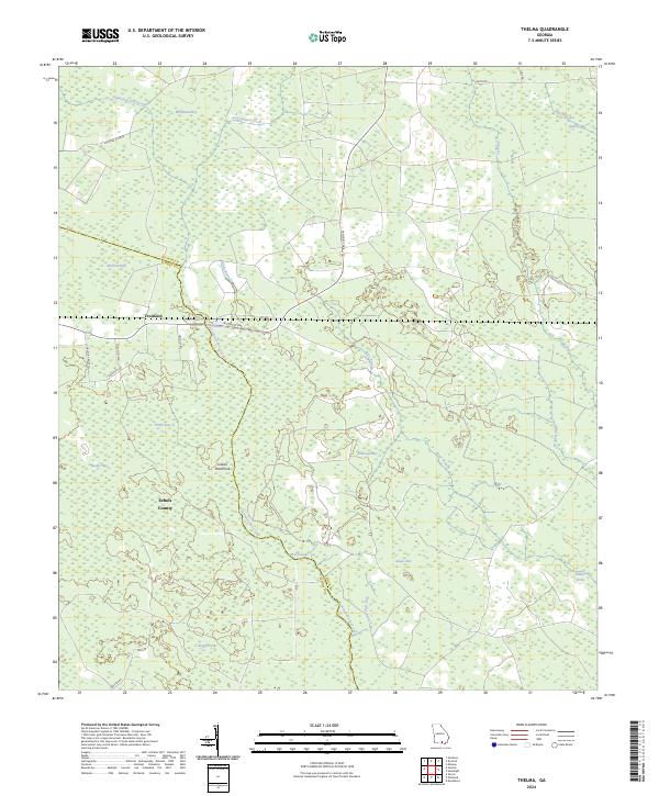
2024 Thelma
Clinch County, GA