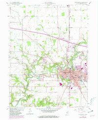
1956 Map of Crawfordsville
USGS Topo · Published 1981About this map
Crawfordsville serves as the central hub of this Indiana survey, characterized by its educational institutions and established industrial footprint. The campus of Wabash College and the Courthouse define the downtown core, while residential growth reaches into Fiskyville and near Milligan Park. The landscape is etched by the winding path of Sugar Creek, which flows past the Spring Ledge County Club and the historic settlement of Yountsville.
Find a feature on this map
49 named features on this map. Tap any name to fly to it.
Don’t see what you’re looking for? This feature index may not catch every label — zoom into the map to look around manually.
Map Details
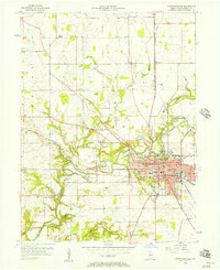
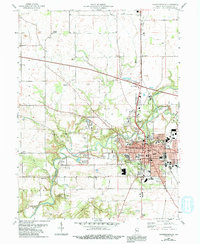
Editions of this 1956 Crawfordsville Map
4 editions found
Other maps of this area

1949 · Alamo
USGS Topo · 1:24,000

1953 · Danville
USGS Topo · 1:250,000

1953 · Indianapolis
USGS Topo · 1:250,000

1955 · Danville
USGS Topo · 1:250,000

1956 · Danville
USGS Topo · 1:250,000

1956 · Indianapolis
USGS Topo · 1:250,000

1956 · Crawfordsville
USGS Topo · 1:24,000

1956 · New Market
USGS Topo · 1:24,000

1957 · Indianapolis
USGS Topo · 1:250,000

1958 · Darlington
USGS Topo · 1:24,000