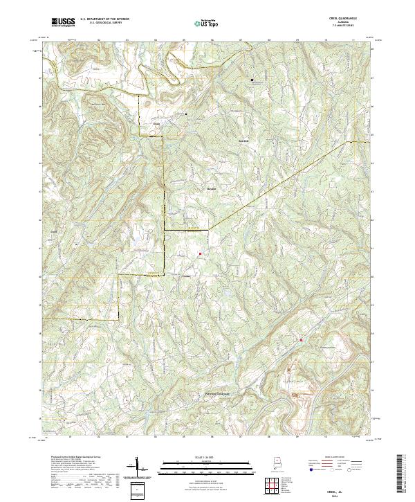
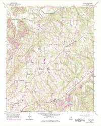
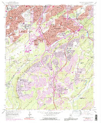
2024 Map of Creel
USGS Topo · Published 2024This historical map portrays the area of Creel in 2024, primarily covering Jefferson County as well as portions of Cullman County, Walker County, and Blount County. Featuring a scale of 1:24000, this map provides a highly detailed snapshot of the terrain, roads, buildings, counties, and historical landmarks in the Creel region at the time. Published in 2024, it is the sole known edition of this map.
Map Details
Editions of this 2024 Creel Map
This is the sole edition of this map. No revisions or reprints were ever made.
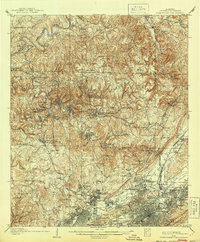
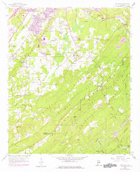
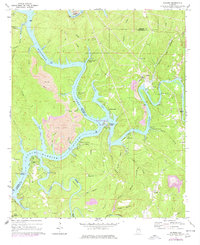
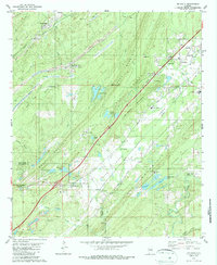
Historical Maps of Cullman County Through Time
32 maps found

1904 Birmingham Coal District
Jefferson County, AL
1905 Bessemer Iron District
Jefferson County, AL
1906 Birmingham Coal District
Jefferson County, AL
1907 Bessemer Iron District
Jefferson County, AL

1927 Adger
Jefferson County, AL

1932 Yolande
Jefferson County, AL

1935 Port Birmingham
Jefferson County, AL
1935 Yolande
Jefferson County, AL
1938 Port Birmingham
Jefferson County, AL
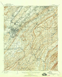
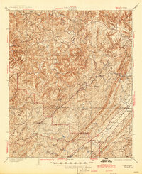
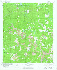
1951 Creel
Jefferson County, AL
1959 Birmingham North
Jefferson County, AL
1959 Birmingham South
Jefferson County, AL
1959 Greenwood
Jefferson County, AL
1971 Gilmore
Jefferson County, AL

1975 Birmingham North
Jefferson County, AL

1975 Birmingham South
Jefferson County, AL

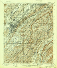
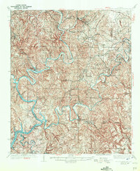
1975 Creel
Jefferson County, AL

1975 Gilmore
Jefferson County, AL

1975 Greenwood
Jefferson County, AL

1975 Yolande NE
Jefferson County, AL

1975 Yolande NW
Jefferson County, AL

1975 Yolande SE
Jefferson County, AL
1980 Mc Calla
Jefferson County, AL
1980 Oak Grove
Jefferson County, AL

1997 Birmingham North
Jefferson County, AL

1997 Birmingham South
Jefferson County, AL
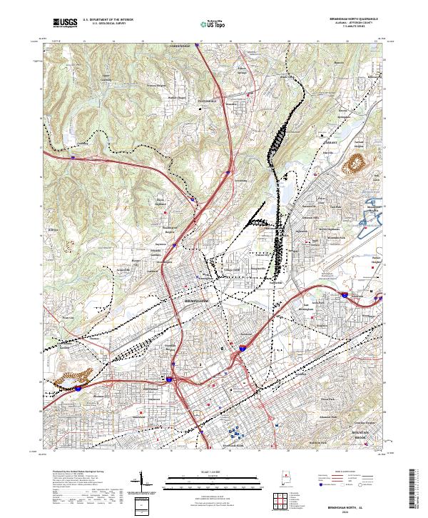
2024 Birmingham North
Jefferson County, AL
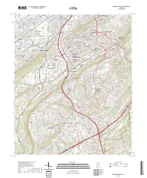
2024 Birmingham South
Jefferson County, AL
2024 Creel
Jefferson County, AL
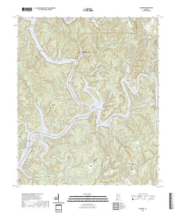
2024 Gilmore
Jefferson County, AL
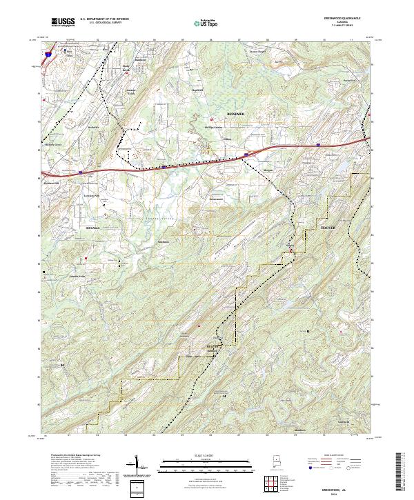
2024 Greenwood
Jefferson County, AL
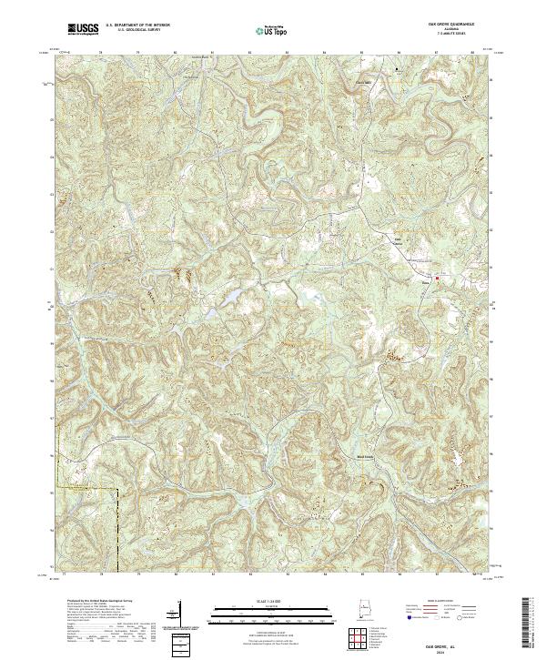
2024 Oak Grove
Jefferson County, AL