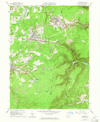
1963 Map of Cresson
USGS Topo · Published 1965About this map
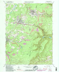
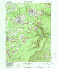
Industrial rail and coal operations define this 1963 landscape, anchored by the heavy presence of the Pennsylvania railroad and numerous extractive sites. The boroughs of Gallitzin, Cresson, and Lilly show dense residential patterns shaped by the topography of the Allegheny Front, where the legendary The Muleshoe curve navigates the steep descent toward Hollidaysburg Reservoir. The map documents significant institutional footprints, notably the Lawrence Flick State Hospital and Mt Aloysius Jr College, alongside social centers like the Airport Golf Club and Youth Center. Extractive history is visible in the scattered Strip Mine symbols and extensive Tailings near Lillydale Cem. Water management is prominent through the Lilly Reservoirs and the Filtration Plant, supporting a region transitioning from its early industrial peak toward a modern mid-century infrastructure of pipelines and improved roadways.
Find a feature on this map
59 named features on this map. Tap any name to fly to it.
Don’t see what you’re looking for? This feature index may not catch every label — zoom into the map to look around manually.
Map Details
Editions of this 1963 Cresson Map
6 editions found
Other maps of this area

1902 · Ebensburg
USGS Topo · 1:62,500

1902 · Patton
USGS Topo · 1:62,500

1902 · Hollidaysburg
USGS Topo · 1:62,500

1903 · Hollidaysburg
USGS Topo · 1:62,500

1904 · Patton
USGS Topo · 1:62,500

1904 · Ebensburg
USGS Topo · 1:62,500

1920 · Altoona
USGS Topo · 1:62,500

1922 · Altoona
USGS Topo · 1:62,500

1943 · Punxsutawney
USGS Topo · 1:125,000

1953 · Pittsburgh
USGS Topo · 1:250,000