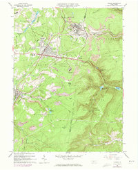
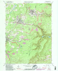
1963 Map of Cresson
USGS Topo · Published 1973About this map
The high industrial plateau of the Allegheny Front dominates this landscape, where the Penn Central railroad winds through the historic mountain passes of Cambria and Blair Counties. This mid-century view shows the significant infrastructure supporting the region's coal and transit heritage, including numerous Strip Mines and the complex of the Lawrence Flick State Hospital. The map detail highlights the density of the hilltop communities like Gallitzin, Cresson, and Lilly, documenting the schools and parish centers such as Mt Aloysius Jr College and St Aloysius Ch. Notable topographical features such as Adams Gap and The Muleshoe illustrate the challenging terrain that dictated the path of transportation and settlement in the region. The map also delineates extensive public and protected lands, including State Game Lands No 198, which flank the various municipal water sources like Lilly Reservoirs.
Find a feature on this map
47 named features on this map. Tap any name to fly to it.
Don’t see what you’re looking for? This feature index may not catch every label — zoom into the map to look around manually.
Map Details
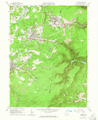
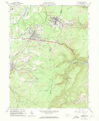
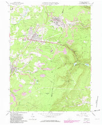
Editions of this 1963 Cresson Map
6 editions found
Other maps of this area

1902 · Ebensburg
USGS Topo · 1:62,500

1902 · Patton
USGS Topo · 1:62,500

1902 · Hollidaysburg
USGS Topo · 1:62,500

1903 · Hollidaysburg
USGS Topo · 1:62,500

1904 · Patton
USGS Topo · 1:62,500

1904 · Ebensburg
USGS Topo · 1:62,500

1920 · Altoona
USGS Topo · 1:62,500

1922 · Altoona
USGS Topo · 1:62,500

1943 · Punxsutawney
USGS Topo · 1:125,000

1953 · Pittsburgh
USGS Topo · 1:250,000