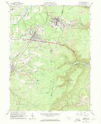
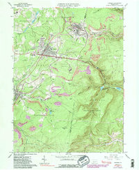
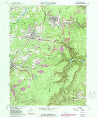
1963 Map of Cresson
USGS Topo · Published 1971About this map
The Pennsylvania Railroad corridor dominates this 1963 landscape, threading through the high Allegheny terrain via the significant engineering works at Gallitzin and Tunnel Hill. This era captures the region's industrial and institutional identity, marked by numerous Strip Mines and local coal tipples that sit alongside established religious and educational centers like the St Francis Seminary and Mt Aloysius Jr College.
Find a feature on this map
64 named features on this map. Tap any name to fly to it.
Don’t see what you’re looking for? This feature index may not catch every label — zoom into the map to look around manually.
Map Details
Editions of this 1963 Cresson Map
6 editions found
Other maps of this area

1902 · Ebensburg
USGS Topo · 1:62,500

1902 · Patton
USGS Topo · 1:62,500

1902 · Hollidaysburg
USGS Topo · 1:62,500

1903 · Hollidaysburg
USGS Topo · 1:62,500

1904 · Patton
USGS Topo · 1:62,500

1904 · Ebensburg
USGS Topo · 1:62,500

1920 · Altoona
USGS Topo · 1:62,500

1922 · Altoona
USGS Topo · 1:62,500

1943 · Punxsutawney
USGS Topo · 1:125,000

1953 · Pittsburgh
USGS Topo · 1:250,000