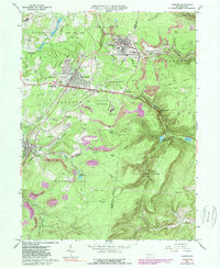
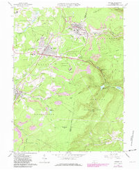
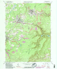
1963 Map of Cresson
USGS Topo · Published 1989About this map
Cresson and Gallitzin sit at the summit of the Alleghenies, where the industrial legacy of the Conrail line meets the preserved history of the Allegheny Portage Railroad Old Railroad Grade. The landscape is a complex mix of institutional grounds and resource extraction, featuring the Lawrence Flick State Hospital and Mt Aloysius Jr College alongside numerous oil wells and strip mines. The map reveals the critical importance of water management in this high-elevation terrain, with the Lilly Reservoirs and the Hollidaysburg Reservoir tucked into the gaps of the eastern continental divide.
Find a feature on this map
63 named features on this map. Tap any name to fly to it.
Don’t see what you’re looking for? This feature index may not catch every label — zoom into the map to look around manually.
Map Details
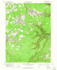
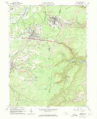
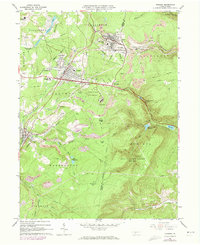
Editions of this 1963 Cresson Map
6 editions found
Other maps of this area

1902 · Ebensburg
USGS Topo · 1:62,500

1902 · Patton
USGS Topo · 1:62,500

1902 · Hollidaysburg
USGS Topo · 1:62,500

1903 · Hollidaysburg
USGS Topo · 1:62,500

1904 · Patton
USGS Topo · 1:62,500

1904 · Ebensburg
USGS Topo · 1:62,500

1920 · Altoona
USGS Topo · 1:62,500

1922 · Altoona
USGS Topo · 1:62,500

1943 · Punxsutawney
USGS Topo · 1:125,000

1953 · Pittsburgh
USGS Topo · 1:250,000