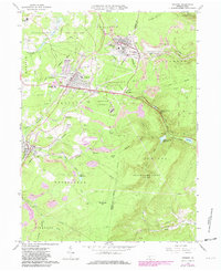
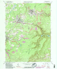
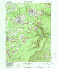
1963 Map of Cresson
USGS Topo · Published 1982About this map
The Allegheny Portage Railroad National Historic Site preserves a critical transportation corridor through the Allegheny Front, where an Old Railroad Grade and active Conrail lines navigate steep gaps and tunnels. The towns of Cresson, Gallitzin, and Lilly anchor this landscape of industry and institutions, which includes the sprawling Lawrence Flick State Hospital and Mt Aloysius Jr College.
Find a feature on this map
58 named features on this map. Tap any name to fly to it.
Don’t see what you’re looking for? This feature index may not catch every label — zoom into the map to look around manually.
Map Details
Editions of this 1963 Cresson Map
6 editions found
Other maps of this area

1902 · Ebensburg
USGS Topo · 1:62,500

1902 · Patton
USGS Topo · 1:62,500

1902 · Hollidaysburg
USGS Topo · 1:62,500

1903 · Hollidaysburg
USGS Topo · 1:62,500

1904 · Patton
USGS Topo · 1:62,500

1904 · Ebensburg
USGS Topo · 1:62,500

1920 · Altoona
USGS Topo · 1:62,500

1922 · Altoona
USGS Topo · 1:62,500

1943 · Punxsutawney
USGS Topo · 1:125,000

1953 · Pittsburgh
USGS Topo · 1:250,000