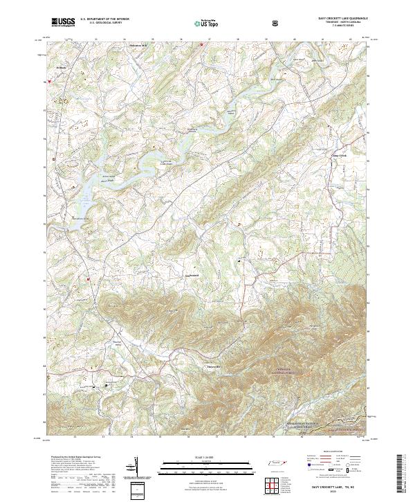
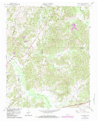
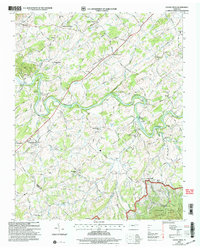
2022 Map of Davy Crockett Lake
USGS Topo · Published 2022About this map
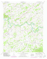
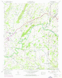
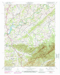
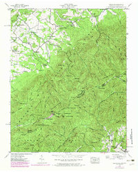
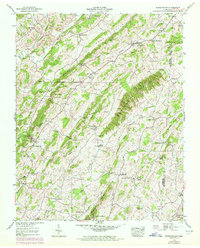
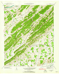
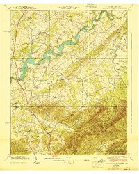
The Nolichucky River carves a winding path through this landscape along the Tennessee and North Carolina border, defining the geography between Greene Mtn and the lowlands to the north. This terrain is characterized by a series of significant river features, including Dinsmores Shoals, Allens Shoals, and the broader expanse of Davy Crockett Lake. The rural character of the region is anchored by small communities such as Whitesand and Hayesville, while the southern reaches are dominated by the protected woodlands of the Cherokee National Forest and Pisgah National Forest.
Find a feature on this map
145 named features on this map. Tap any name to fly to it.
Don’t see what you’re looking for? This feature index may not catch every label — zoom into the map to look around manually.
Map Details
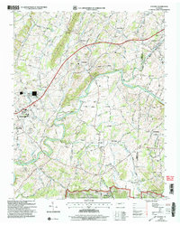
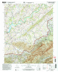
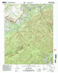
Editions of this 2022 Davy Crockett Lake Map
This is the sole edition of this map. No revisions or reprints were ever made.
Historical Maps of Camp Creek Through Time
30 maps found
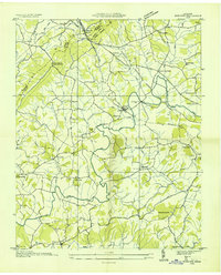
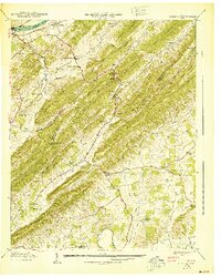
1935 Cedar Creek
Greene County, TN
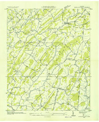
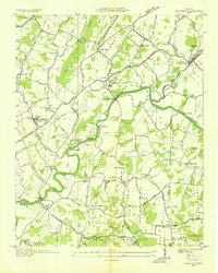
1935 Jearoldstown
Greene County, TN
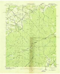
1935 McCloud
Greene County, TN
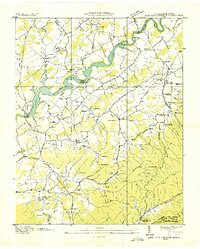
1935 Mohawk
Greene County, TN
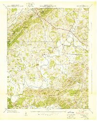
1936 Chuckey
Greene County, TN
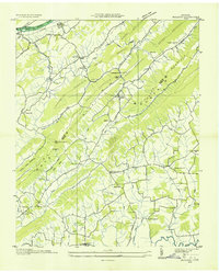
1936 Greystone
Greene County, TN
1936 Lake Davy Crockett
Greene County, TN
1939 Cedar Creek
Greene County, TN
1939 Chuckey
Greene County, TN
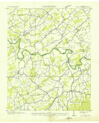
1939 Davy Crockett Lake
Greene County, TN
1939 Greystone
Greene County, TN
1939 Jearoldstown
Greene County, TN
1939 Mc Cloud
Greene County, TN
1939 Mohawk
Greene County, TN
1940 Davy Crockett Lake
Greene County, TN
1940 Mc Cloud
Greene County, TN
1940 Mohawk
Greene County, TN
1961 Mc Cloud
Greene County, TN
1966 Cedar Creek
Greene County, TN
2003 Cedar Creek
Greene County, TN
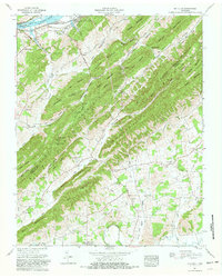
2003 Chuckey
Greene County, TN
2003 Davy Crockett Lake
Greene County, TN
2003 Greystone
Greene County, TN
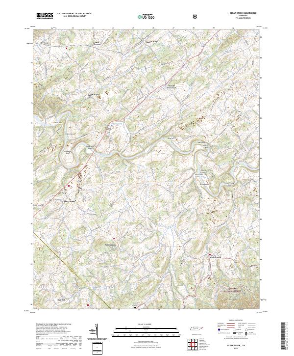
2022 Cedar Creek
Greene County, TN
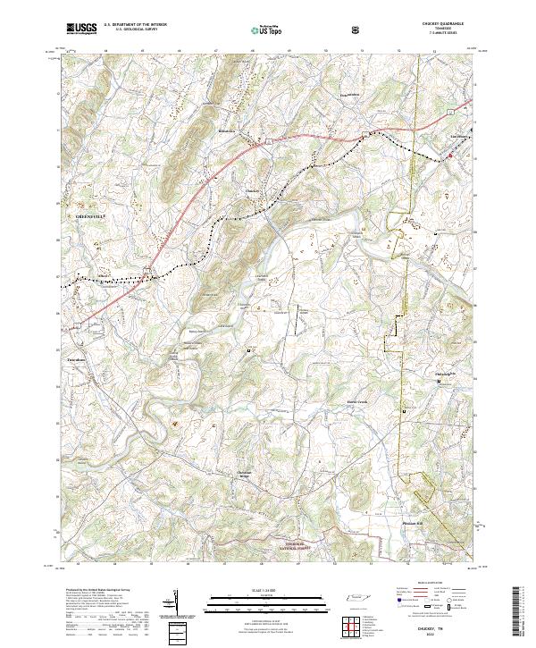
2022 Chuckey
Greene County, TN
2022 Davy Crockett Lake
Greene County, TN
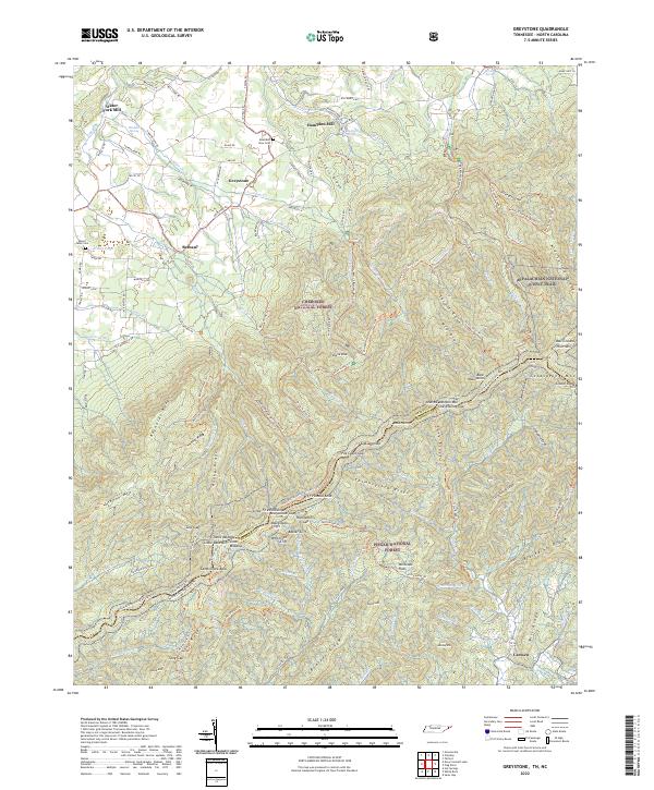
2022 Greystone
Greene County, TN
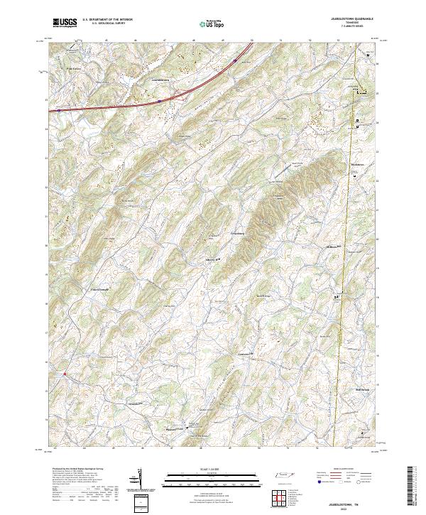
2022 Jearoldstown
Greene County, TN
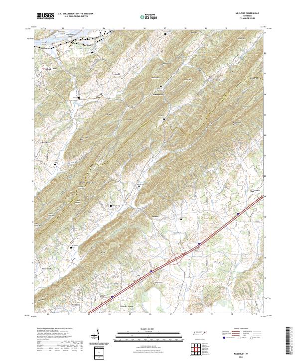
2022 McCloud
Greene County, TN
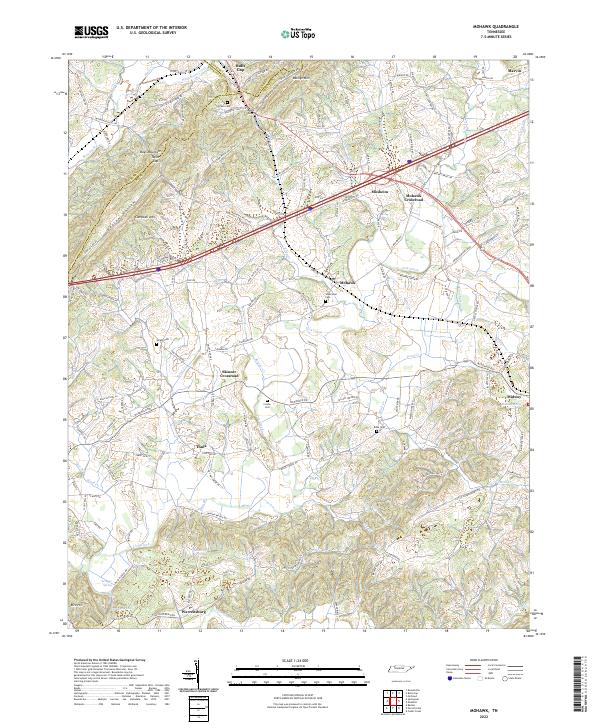
2022 Mohawk
Greene County, TN