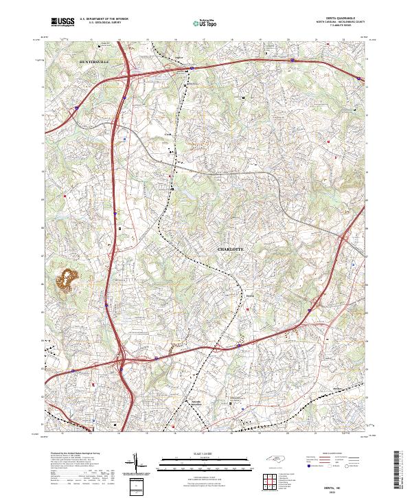
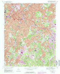
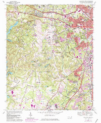
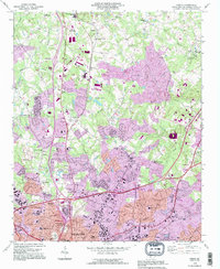
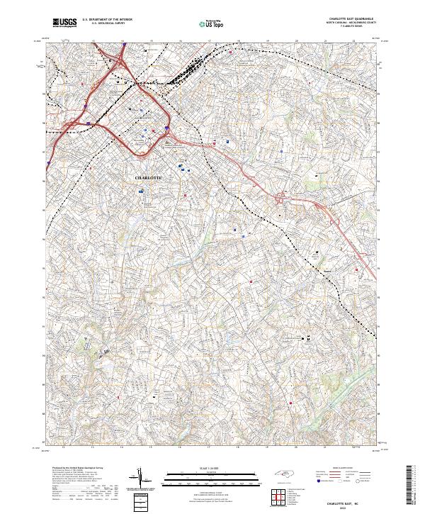
2022 Map of Derita
USGS Topo · Published 2022About this map
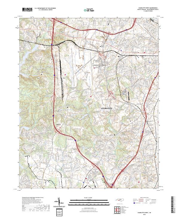
The Norfolk Southern rail line serves as a central spine through the northern Mecklenburg landscape, connecting established hubs like Huntersville, Croft, and Derita as they transition into the suburban fabric of north Charlotte. This modern survey documents a region defined by its intersection of historical community anchors and rapidly expanding infrastructure. Pockets of early local history remain visible through a high concentration of religious and burial sites, including the Sugaw Creek Presbyterian Church Cem Number 1 and Independence Hill Church Cem. The landscape is further shaped by complex drainage systems, with Stony Cr and Mallard Cr winding through residential developments, while man-made water features such as Dillons Twin Lakes and Lake Plaza signify the area's continued commercial and recreational evolution.
Find a feature on this map
385 named features on this map. Tap any name to fly to it.
Don’t see what you’re looking for? This feature index may not catch every label — zoom into the map to look around manually.
Map Details
Editions of this 2022 Derita Map
This is the sole edition of this map. No revisions or reprints were ever made.
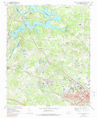
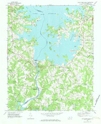
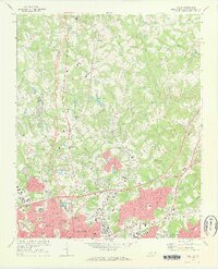
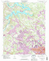
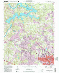
Historical Maps of Charlotte Through Time
25 maps found

1948 Charlotte East
Mecklenburg County, NC
1948 Charlotte West
Mecklenburg County, NC
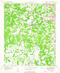
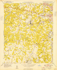
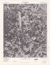
1948 Derita
Mecklenburg County, NC

1948 Paw Creek
Mecklenburg County, NC
1949 Charlotte East
Mecklenburg County, NC
1949 Charlotte West
Mecklenburg County, NC
1949 Hicks Crossroads
Mecklenburg County, NC
1949 Wilgrove
Mecklenburg County, NC
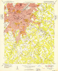
1967 Charlotte East
Mecklenburg County, NC
1968 Charlotte West
Mecklenburg County, NC
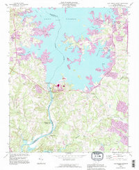
1969 Mountain Island Lake
Mecklenburg County, NC
1970 Lake Norman South
Mecklenburg County, NC
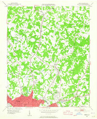
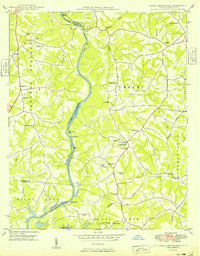
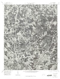
1972 Derita
Mecklenburg County, NC
1976 Charlotte West
Mecklenburg County, NC
1976 Derita
Mecklenburg County, NC
1993 Charlotte West
Mecklenburg County, NC
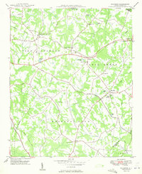
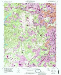
1993 Derita
Mecklenburg County, NC
1993 Lake Norman South
Mecklenburg County, NC
1993 Mountain Island Lake
Mecklenburg County, NC
1997 Mountain Island Lake
Mecklenburg County, NC
2022 Charlotte East
Mecklenburg County, NC
2022 Charlotte West
Mecklenburg County, NC
2022 Derita
Mecklenburg County, NC
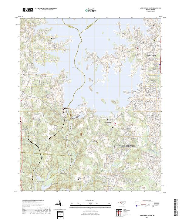
2022 Lake Norman South
Mecklenburg County, NC
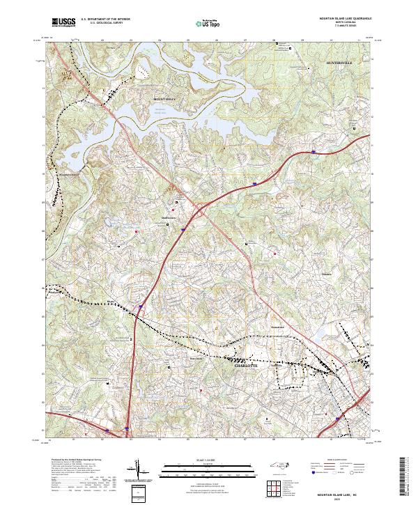
2023 Mountain Island Lake
Mecklenburg County, NC