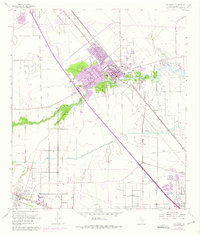
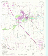
1955 Map of Dickinson
USGS Topo · Published 1975About this map
Dickinson serves as the focal point of this coastal Texas survey, captured during a period of transition as suburban growth and industrial infrastructure expanded along the Gulf Freeway. The landscape is defined by the winding course of Dickinson Bayou and Moses Bayou, which are intersected by the Galveston Houston and Henderson railroad line. Local history is deeply etched into the terrain at the Mt Olivet Cemetery and the site of Camp Wallace (Abandoned), once a significant military training facility.
Find a feature on this map
26 named features on this map. Tap any name to fly to it.
Don’t see what you’re looking for? This feature index may not catch every label — zoom into the map to look around manually.
Map Details
Editions of this 1955 Dickinson Map
5 editions found
Other maps of this area

1916 · Genoa
USGS Topo · 1:24,000

1916 · Seabrook
USGS Topo · 1:24,000

1920 · Seabrook
USGS Topo · 1:31,680

1920 · Genoa
USGS Topo · 1:31,680

1929 · Dickinson
USGS Topo · 1:24,000

1929 · Algoa
USGS Topo · 1:24,000

1929 · Hitchcock
USGS Topo · 1:24,000

1929 · Virginia Point
USGS Topo · 1:24,000

1929 · Texas City
USGS Topo · 1:24,000

1932 · Algoa
USGS Topo · 1:31,680