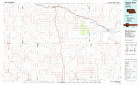
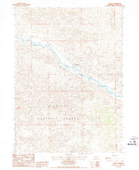
1985 Map of Dismal River
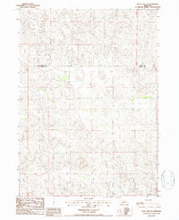
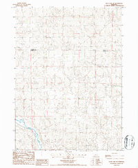
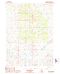
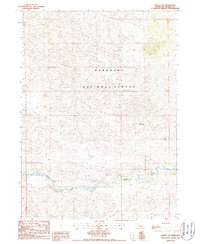
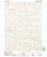
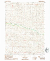
USGS Topo · Published 1985This historical map portrays the area of Dismal River in 1985, primarily covering Thomas County as well as portions of Logan County, Hooker County, McPherson County, Blaine County, and Custer County. Featuring a scale of 1:100000, this map provides a highly detailed snapshot of the terrain, roads, buildings, counties, and historical landmarks in the Dismal River region at the time. Published in 1985, it is one of 2 known editions of this map due to revisions or reprints.
Find a feature on this map
36 named features on this map. Tap any name to fly to it.
Don’t see what you’re looking for? This feature index may not catch every label — zoom into the map to look around manually.
Map Details
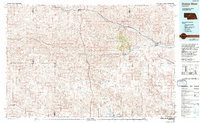
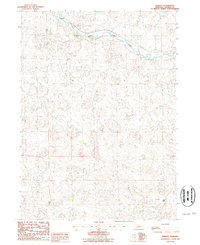
Editions of this 1985 Dismal River Map
2 editions found
Historical Maps of Logan County Through Time
13 maps found
1985 Dismal River
Thomas County, NE
1985 Shimmins Lake NE
Thomas County, NE
1985 Shimmins Lake SE
Thomas County, NE
1986 Duck Lake SE
Thomas County, NE
1986 Duck Lake SW
Thomas County, NE
1986 Halsey SE
Thomas County, NE
1986 Halsey SW
Thomas County, NE
1986 Natick
Thomas County, NE
1986 Norway
Thomas County, NE
1986 Purdum SW
Thomas County, NE
1986 Purdum
Thomas County, NE
1986 Thedford SE
Thomas County, NE
1986 Thedford SW
Thomas County, NE