
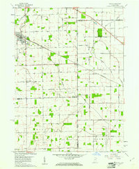
1960 Map of Dixon
USGS Topo · Published 1972About this map
Monroeville serves as the primary hub on this Indiana-Ohio borderlands landscape, defined by the path of the Pennsylvania Railroad as it cuts northwest through the terrain. The map details a strictly organized agricultural grid where drainage is managed through an extensive network of ditches, such as Lortie Ditch and Scott Ditch, which support the surrounding farmsteads. Small, localized settlements like Dixon, East Liberty, and Wolfcale dot the rural intersections, often anchored by community landmarks including Walnut Grove Ch and Bethlehem Ch. Genealogists will find significant value in the numerous burial grounds recorded across these townships, from the Odd Fellows Cem near Monroeville to smaller family-named sites like McNeal Cem, Hoffman Cem, and Alpha Cem. The prominent state line division between Allen Co, Indiana, and Van Wert Co, Ohio, dictates the alignment of roads and property boundaries throughout the survey area.
Find a feature on this map
69 named features on this map. Tap any name to fly to it.
Don’t see what you’re looking for? This feature index may not catch every label — zoom into the map to look around manually.
Map Details
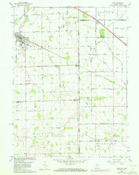
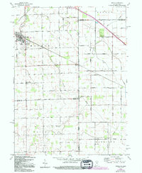
Editions of this 1960 Dixon Map
5 editions found

Other maps of this area

1914 · Van Wert
USGS Topo · 1:62,500

1914 · Paulding
USGS Topo · 1:62,500

1944 · Van Wert
USGS Topo · 1:62,500

1944 · Paulding
USGS Topo · 1:62,500

1953 · Fort Wayne
USGS Topo · 1:250,000

1953 · Muncie
USGS Topo · 1:250,000

1956 · Muncie
USGS Topo · 1:250,000

1956 · Fort Wayne
USGS Topo · 1:250,000

1957 · Maples
USGS Topo · 1:24,000

1958 · Woodburn South
USGS Topo · 1:24,000