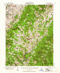
1957 Map of Donegal
USGS Topo · Published 1961About this map
Chestnut Ridge and Laurel Hill dominate the landscape of the Laurel Highlands, framing a valley of agricultural settlements and emerging mid-century infrastructure. The Pennsylvania Turnpike cuts a modern path across the topography, intersecting with older regional hubs like Donegal. This 1957 revision captures the area at a point of transition, where the industrial influence of nearby coal and steel centers is evident in settlements like Mammoth and United, yet the rural character persists through an extensive network of country schools such as Packer School and Oakdale School.
Find a feature on this map
105 named features on this map. Tap any name to fly to it.
Don’t see what you’re looking for? This feature index may not catch every label — zoom into the map to look around manually.
Map Details
Editions of this 1957 Donegal Map
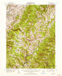
2 editions found
Other maps of this area

1900 · Uniontown
USGS Topo · 1:62,500

1900 · Latrobe
USGS Topo · 1:62,500

1902 · Latrobe
USGS Topo · 1:62,500

1902 · Connellsville
USGS Topo · 1:62,500

1903 · Latrobe
USGS Topo · 1:62,500

1904 · Greensburg
USGS Topo · 1:62,500

1906 · Greensburg
USGS Topo · 1:62,500

1913 · Somerset
USGS Topo · 1:62,500

1915 · Somerset
USGS Topo · 1:62,500

1920 · New Florence
USGS Topo · 1:62,500