2021 Map of Dongola
USGS Topo · Published 2021About this map
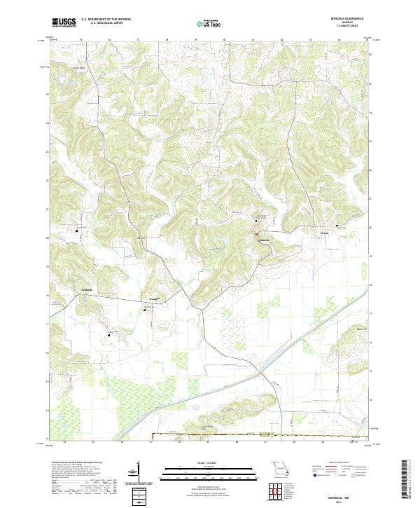
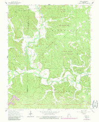
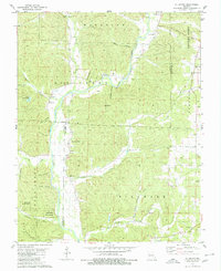
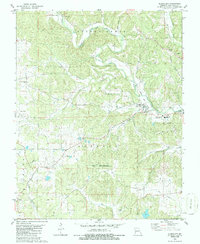
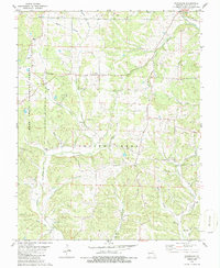
The Castor River Diversion Channel cuts a sharp line across this Bollinger County landscape, representing a significant engineering modification of the local hydrology. This 2021 study shows the transition from the upland ridges of Sylvan Ridge and Null Hill in the north to the low-lying wetlands of Dark Cypress Swamp and the Goose Pond Hills in the south. These southern reaches are dominated by drainage features like Cane Cr, while the northern hills are home to scattered settlements such as Dongola and Glennon. Genealogists will find a high concentration of burial sites throughout the quadrangle, including the Saint Anthony Catholic Cem near Glennon and the remote Mansker Cem. The map documents a predominantly rural network of county roads, such as Co RD 418, connecting family-named landmarks and small communities like Schlatitz and Drum before the terrain drops toward the Stoddard County line.
Find a feature on this map
57 named features on this map. Tap any name to fly to it.
Don’t see what you’re looking for? This feature index may not catch every label — zoom into the map to look around manually.
Map Details
Editions of this 2021 Dongola Map
This is the sole edition of this map. No revisions or reprints were ever made.
Historical Maps of Dongola Through Time
19 maps found

1959 Patton
Bollinger County, MO
1963 Dongola
Bollinger County, MO
1963 Gipsy
Bollinger County, MO
1963 Sturdivant
Bollinger County, MO
1964 Gipsy
Bollinger County, MO
1980 Allbright
Bollinger County, MO
1980 Glenallen
Bollinger County, MO
1980 Hurricane
Bollinger County, MO
1980 Scopus
Bollinger County, MO
2000 Hurricane
Bollinger County, MO
2000 Patton
Bollinger County, MO
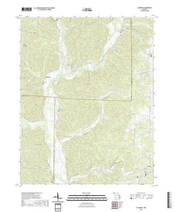
2021 Allbright
Bollinger County, MO
2021 Dongola
Bollinger County, MO
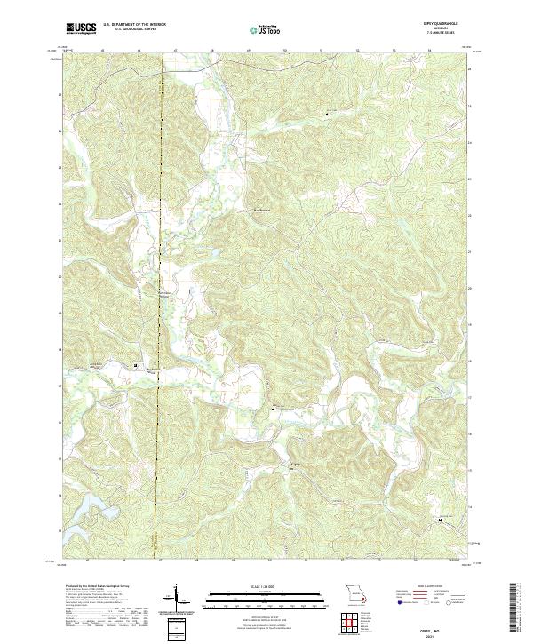
2021 Gipsy
Bollinger County, MO
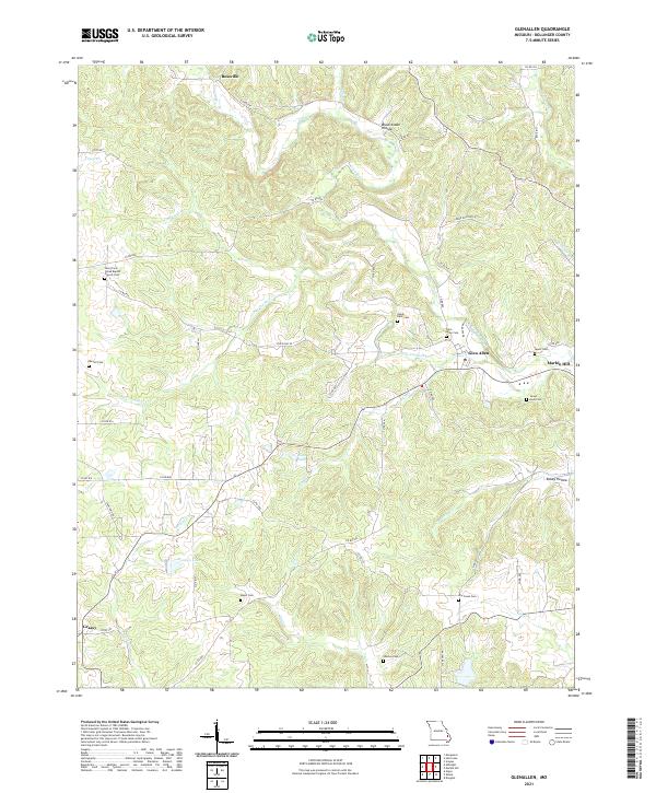
2021 Glenallen
Bollinger County, MO
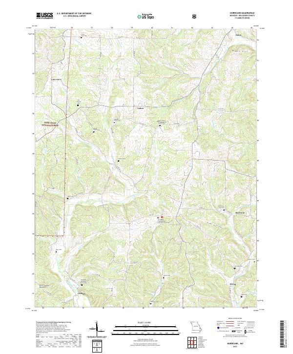
2021 Hurricane
Bollinger County, MO
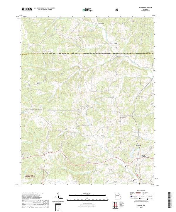
2021 Patton
Bollinger County, MO
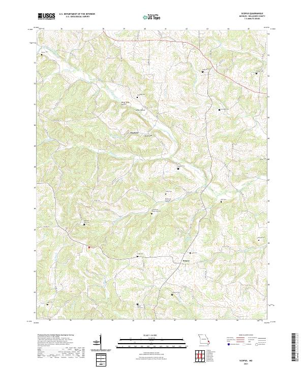
2021 Scopus
Bollinger County, MO
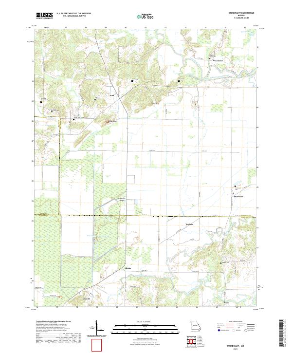
2021 Sturdivant
Bollinger County, MO