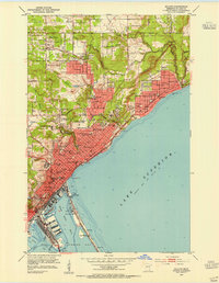
1953 Map of Duluth
USGS Topo · Published 1955About this map
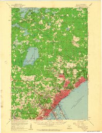
Minnesota Point stretches across the mouth of the harbor, defining the boundary between Superior Bay and the open waters of Lake Superior. This 1953 survey captures the city of Duluth during a period of significant institutional growth, as evidenced by the expanding campus of the University of Minnesota Duluth Branch and the prominent St Scholastica College. The map reveals a densely organized urban core giving way to residential neighborhoods like Woodland and Hunters Park, while the industrial and maritime character of the waterfront is anchored by the Ship Canal and the tracks of the Duluth Missabe and Iron Range railroad.
Find a feature on this map
77 named features on this map. Tap any name to fly to it.
Don’t see what you’re looking for? This feature index may not catch every label — zoom into the map to look around manually.
Map Details
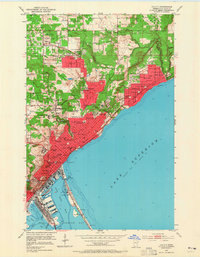
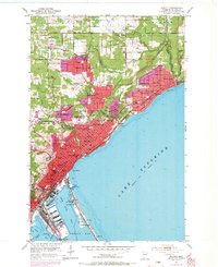
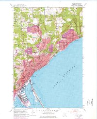
Editions of this 1953 Duluth Map
7 editions found
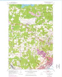
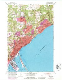
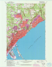
Other maps of this area
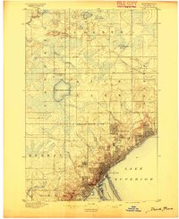
1895 · Duluth
USGS Topo · 1:62,500
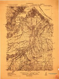
1915 · Superior
USGS Topo · 1:48,000
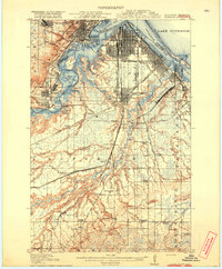
1917 · Superior
USGS Topo · 1:62,500
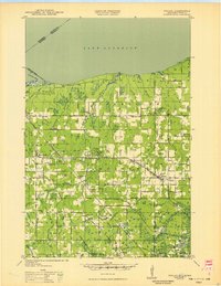
1949 · Poplar
USGS Topo · 1:48,000
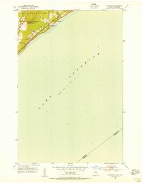
1953 · Lakewood
USGS Topo · 1:24,000
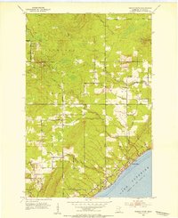
1953 · French River
USGS Topo · 1:24,000
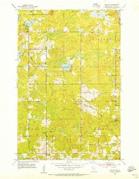
1953 · Arnold
USGS Topo · 1:24,000
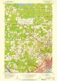
1953 · Duluth Heights
USGS Topo · 1:24,000
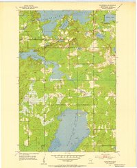
1953 · Fredenberg
USGS Topo · 1:24,000
1953 · Duluth
USGS Topo · 1:62,500