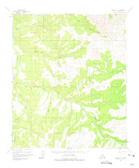
1956 Map of Eagle D-5
USGS Topo · Published 1975About this map
Hosford stands as a primary named settlement site within this interior Alaskan landscape, which was field annotated in the mid-1950s. The terrain is defined by the winding course of the Charley River and its numerous tributaries, including Hosford Creek and Essie Creek. This region reflects a period of transition, where evidence of earlier habitation or prospecting is noted by a Cabin (Ruins) located near the Base Line. The intricate drainage system, featuring Godge Creek and Copper Creek, suggests a landscape shaped by hydraulic action and seasonal flow. This survey provides a look at the wilderness before modern development, capturing the specific locations of remote shelters and waterways that served as the primary landmarks for those traversing the Alaskan interior during the postwar era.
Find a feature on this map
9 named features on this map. Tap any name to fly to it.
Don’t see what you’re looking for? This feature index may not catch every label — zoom into the map to look around manually.
Map Details
Editions of this 1956 Eagle D-5 Map
2 editions found
Other maps of this area

1951 · Charley River
USGS Topo · 1:250,000

1951 · Eagle
USGS Topo · 1:250,000

1956 · Charley River A-5
USGS Topo · 1:63,360

1956 · Charley River A-4
USGS Topo · 1:63,360

1956 · Charley River A-6
USGS Topo · 1:63,360

1956 · Charley River
USGS Topo · 1:250,000
1956 · Eagle D-5
USGS Topo · 1:63,360

1956 · Eagle C-6
USGS Topo · 1:63,360
1956 · Eagle D-4
USGS Topo · 1:63,360

1956 · Eagle C-5
USGS Topo · 1:63,360