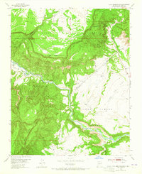
1953 Map of Echo Ampitheater
USGS Topo · Published 1965About this map
The Rio Chama carves a deep path through northern New Mexico in this 1950s survey, marking the boundary between the Carson National Forest and the Santa Fe National Forest. The landscape is dominated by massive geological formations, most notably the towering Mesa de los Viejos to the north and the wide expanse of the Llano del Vado to the east. A prominent natural landmark, the Echo Amphitheater, sits tucked against the sandstone cliffs near the Echo Campground, serving as a focal point for the region's topography.
Find a feature on this map
17 named features on this map. Tap any name to fly to it.
Don’t see what you’re looking for? This feature index may not catch every label — zoom into the map to look around manually.
Map Details
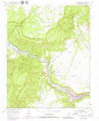
Editions of this 1953 Echo Ampitheater Map
3 editions found
Other maps of this area

1909 · Gallina
USGS Topo · 1:125,000

1918 · Abiquiu
USGS Topo · 1:125,000

1953 · Canones
USGS Topo · 1:24,000

1953 · Alire
USGS Topo · 1:24,000

1953 · Echo Ampitheater
USGS Topo · 1:24,000

1953 · Arroyo Del Agua
USGS Topo · 1:24,000

1953 · Canjilon
USGS Topo · 1:24,000

1953 · Laguna Peak
USGS Topo · 1:24,000

1953 · Navajo Peak
USGS Topo · 1:24,000

1953 · Youngsville
USGS Topo · 1:24,000