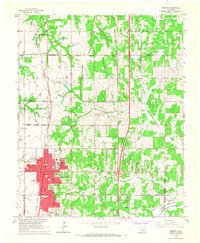
1966 Map of Edmond
USGS Topo · Published 1967About this map
Edmond expands across the southern half of this mid-1960s study, anchored by the campus of Central State College and an emerging network of schools including Clegern Sch and Northern Hills Sch. The urban core is detailed with named thoroughfares such as Broadway, Main St, and Thatcher St, while the Atchison Topeka and Santa Fe Railroad cuts a north-south line through the center of town. North of the city, the landscape remains largely rural, dotted with Oil Wells and divided by the meandering path of Coffee Creek.
Find a feature on this map
52 named features on this map. Tap any name to fly to it.
Don’t see what you’re looking for? This feature index may not catch every label — zoom into the map to look around manually.
Map Details
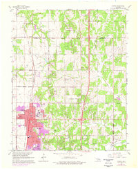
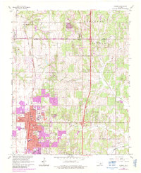
Editions of this 1966 Edmond Map
3 editions found
Other maps of this area

1892 · Guthrie
USGS Topo · 1:62,500

1892 · Edmond
USGS Topo · 1:62,500

1892 · Kingfisher
USGS Topo · 1:125,000

1895 · Kingfisher
USGS Topo · 1:125,000

1935 · Spencer
USGS Topo · 1:24,000

1935 · Edmond
USGS Topo · 1:48,000

1940 · Edmond
USGS Topo · 1:62,500

1951 · Britton
USGS Topo · 1:24,000

1954 · Oklahoma City
USGS Topo · 1:250,000
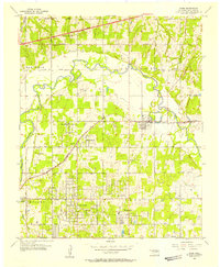
1955 · Jones
USGS Topo · 1:24,000