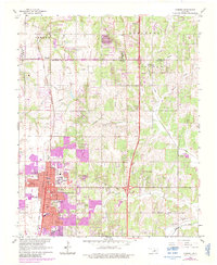
1966 Map of Edmond
USGS Topo · Published 1983About this map
Edmond serves as the focal point of this Oklahoma landscape during a period of significant suburban expansion, evidenced by the purple tinting added during the 1983 revision process. The town is anchored by the presence of Central State University and a network of local institutions including the Armory, Clegern Sch, and Fink Park. To the north, the small settlement of Waterloo sits on the border between Logan and Oklahoma Counties, served by the Atchison Topeka and Santa Fe railroad corridor.
Find a feature on this map
46 named features on this map. Tap any name to fly to it.
Don’t see what you’re looking for? This feature index may not catch every label — zoom into the map to look around manually.
Map Details
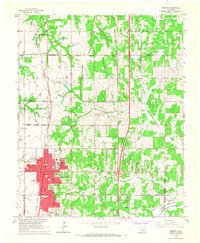
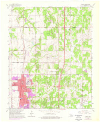
Editions of this 1966 Edmond Map
3 editions found
Other maps of this area

1892 · Guthrie
USGS Topo · 1:62,500

1892 · Edmond
USGS Topo · 1:62,500

1892 · Kingfisher
USGS Topo · 1:125,000

1895 · Kingfisher
USGS Topo · 1:125,000

1935 · Spencer
USGS Topo · 1:24,000

1935 · Edmond
USGS Topo · 1:48,000

1940 · Edmond
USGS Topo · 1:62,500

1951 · Britton
USGS Topo · 1:24,000

1954 · Oklahoma City
USGS Topo · 1:250,000
1955 · Jones
USGS Topo · 1:24,000