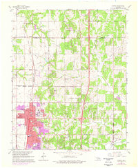
1966 Map of Edmond
USGS Topo · Published 1976About this map
Central State University anchors the growing community of Edmond in this mid-1960s survey, revised in the mid-1970s to reflect suburban expansion. The landscape transitions from the urban core at Main St and 9th St to the surrounding rural townships of Edmond Twp and Lincoln Twp. The Atchison Topeka and Santa Fe railroad runs north through the small settlements of Waterloo and Seward, passing the Church of the Nazarene and numerous family-named burial grounds like Waterloo Cem and Pleasant Hill Cem. The era's economic base is clearly visible through extensive Oil Fields and Gas Fields dotting the northern countryside, while local infrastructure includes a Compressor Station and the Armory. Natural drainage is provided by Coffee Creek and Deep Fork, which cross a terrain increasingly marked by residential development and local education sites like School No 12 and Clegern Sch.
Find a feature on this map
49 named features on this map. Tap any name to fly to it.
Don’t see what you’re looking for? This feature index may not catch every label — zoom into the map to look around manually.
Map Details
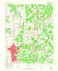
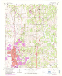
Editions of this 1966 Edmond Map
3 editions found
Other maps of this area

1892 · Guthrie
USGS Topo · 1:62,500

1892 · Edmond
USGS Topo · 1:62,500

1892 · Kingfisher
USGS Topo · 1:125,000

1895 · Kingfisher
USGS Topo · 1:125,000

1935 · Spencer
USGS Topo · 1:24,000

1935 · Edmond
USGS Topo · 1:48,000

1940 · Edmond
USGS Topo · 1:62,500

1951 · Britton
USGS Topo · 1:24,000

1954 · Oklahoma City
USGS Topo · 1:250,000
1955 · Jones
USGS Topo · 1:24,000