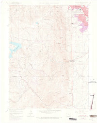
1965 Map of Eldorado Springs
USGS Topo · Published 1973About this map
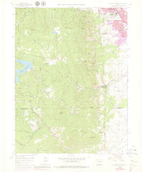
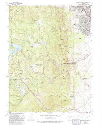
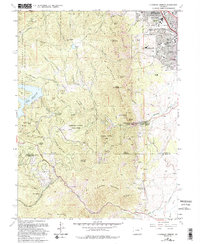
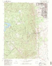
Eldorado Springs and the sheer rock faces of The Flatirons dominate this landscape during a period of significant scientific and suburban expansion. The 1965 survey, updated with 1971 photorevisions, captures the transition of the northern Front Range from a series of scattered mountain settlements to a hub of research. Notable institutions like the National Bureau of Standards and the National Center for Atmospheric Research appear on the southern edge of Boulder, while the dramatic topography of South Boulder Peak and Bear Peak looms to the west. The rugged terrain is carved by numerous canyons, including Gregory and Bluebell, which separate the developing urban fringe from the protected lands of the Roosevelt National Forest. Water infrastructure is critical here, evidenced by the Gross Reservoir and a complex network of ditches like the Church Ditch and the Boulder and Weld County Ditch serving the plains below.
Find a feature on this map
73 named features on this map. Tap any name to fly to it.
Don’t see what you’re looking for? This feature index may not catch every label — zoom into the map to look around manually.
Map Details
Editions of this 1965 Eldorado Springs Map
8 editions found
Other maps of this area

1899 · West Denver
USGS Topo · 1:125,000

1902 · Boulder
USGS Topo · 1:62,500

1904 · Niwot
USGS Topo · 1:62,500

1904 · Boulder
USGS Topo · 1:62,500

1906 · Blackhawk
USGS Topo · 1:62,500

1939 · Golden
USGS Topo · 1:24,000

1942 · Eldorado Springs
USGS Topo · 1:24,000

1942 · Golden
USGS Topo · 1:31,680

1942 · Louisville
USGS Topo · 1:31,680

1942 · Tungsten
USGS Topo · 1:24,000