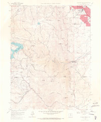
1965 Map of Eldorado Springs
USGS Topo · Published 1967About this map
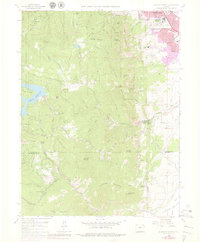
Eldorado Springs and the southern reaches of Boulder anchor this mid-1960s survey of the Front Range. The landscape is defined by the complex engineering of the Denver and Rio Grande Western railroad as it winds through the foothills, utilizing numerous tunnels to navigate the terrain between Plainview and Crescent Village. The map highlights the intersection of academic and scientific growth with the natural environment, featuring the National Bureau of Standards and the Institutes for Environmental Research on the city's edge. Water management is a dominant theme, evidenced by the sprawling Gross Reservoir and the Kossler Lake system. For local historians, the sheet preserves the location of scattered mountain settlements like Copperdale and Magnolia, along with essential community fixtures such as the Chapel in the Hills and the Green Mountain Memorial Park Cemetery.
Find a feature on this map
48 named features on this map. Tap any name to fly to it.
Don’t see what you’re looking for? This feature index may not catch every label — zoom into the map to look around manually.
Map Details
Editions of this 1965 Eldorado Springs Map
8 editions found
Other maps of this area

1899 · West Denver
USGS Topo · 1:125,000

1902 · Boulder
USGS Topo · 1:62,500

1904 · Niwot
USGS Topo · 1:62,500

1904 · Boulder
USGS Topo · 1:62,500

1906 · Blackhawk
USGS Topo · 1:62,500

1939 · Golden
USGS Topo · 1:24,000

1942 · Eldorado Springs
USGS Topo · 1:24,000

1942 · Golden
USGS Topo · 1:31,680

1942 · Louisville
USGS Topo · 1:31,680

1942 · Tungsten
USGS Topo · 1:24,000