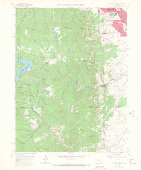
1965 Map of Eldorado Springs
USGS Topo · Published 1967About this map
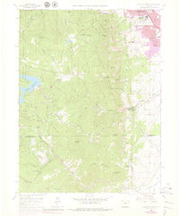
Eldorado Springs serves as the focal point for this mid-1960s study, situated where the dramatic verticality of The Flatirons meets the plains. The landscape is defined by the steep descent of South Boulder Creek and the intricate path of the Denver and Rio Grande Western railroad as it winds through Rainbow Cut and past Crescent Village. This era showcases the post-war infrastructure of the Front Range, including the Gross Reservoir and the expansive facilities of the National Bureau of Standards on the southern edge of Boulder.
Find a feature on this map
38 named features on this map. Tap any name to fly to it.
Don’t see what you’re looking for? This feature index may not catch every label — zoom into the map to look around manually.
Map Details
Editions of this 1965 Eldorado Springs Map
8 editions found
Other maps of this area

1899 · West Denver
USGS Topo · 1:125,000

1902 · Boulder
USGS Topo · 1:62,500

1904 · Niwot
USGS Topo · 1:62,500

1904 · Boulder
USGS Topo · 1:62,500

1906 · Blackhawk
USGS Topo · 1:62,500

1939 · Golden
USGS Topo · 1:24,000

1942 · Eldorado Springs
USGS Topo · 1:24,000

1942 · Golden
USGS Topo · 1:31,680

1942 · Louisville
USGS Topo · 1:31,680

1942 · Tungsten
USGS Topo · 1:24,000