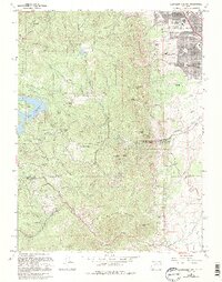
1965 Map of Eldorado Springs
USGS Topo · Published 1994About this map
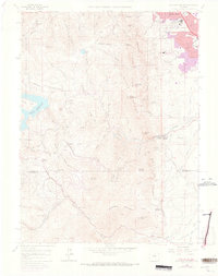
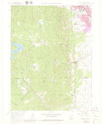
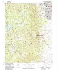
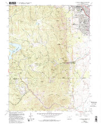
Eldorado Springs and the southern outskirts of Boulder meet the dramatic rise of the Front Range in this mid-century survey. The landscape is defined by the sharp transition from the plains to iconic landmarks like The Flatirons and Green Mountain. Heavy infrastructure is evident throughout the terrain, including the D & Rg W Rr winding through the foothills and the significant engineering of the Gross Reservoir.
Find a feature on this map
67 named features on this map. Tap any name to fly to it.
Don’t see what you’re looking for? This feature index may not catch every label — zoom into the map to look around manually.
Map Details
Editions of this 1965 Eldorado Springs Map
8 editions found
Other maps of this area

1899 · West Denver
USGS Topo · 1:125,000

1902 · Boulder
USGS Topo · 1:62,500

1904 · Niwot
USGS Topo · 1:62,500

1904 · Boulder
USGS Topo · 1:62,500

1906 · Blackhawk
USGS Topo · 1:62,500

1939 · Golden
USGS Topo · 1:24,000

1942 · Eldorado Springs
USGS Topo · 1:24,000

1942 · Golden
USGS Topo · 1:31,680

1942 · Louisville
USGS Topo · 1:31,680

1942 · Tungsten
USGS Topo · 1:24,000