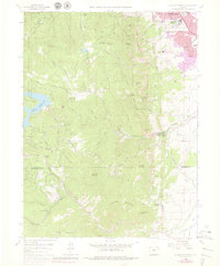
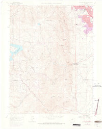
1965 Map of Eldorado Springs
USGS Topo · Published 1979About this map
The dramatic transition from the High Plains to the Front Range is captured here as the urban edge of south Boulder meets the steep slopes of The Flatirons. This mid-century survey documents a period of scientific and institutional expansion, featuring the National Center for Atmospheric Research and the National Bureau of Standards on the city's outskirts. To the south, the resort character of Eldorado Springs is set against the industrial presence of the Denver and Rio Grande Western railroad, which winds through the mountains near Plainview.
Find a feature on this map
58 named features on this map. Tap any name to fly to it.
Don’t see what you’re looking for? This feature index may not catch every label — zoom into the map to look around manually.
Map Details
Editions of this 1965 Eldorado Springs Map
8 editions found
Other maps of this area

1899 · West Denver
USGS Topo · 1:125,000

1902 · Boulder
USGS Topo · 1:62,500

1904 · Niwot
USGS Topo · 1:62,500

1904 · Boulder
USGS Topo · 1:62,500

1906 · Blackhawk
USGS Topo · 1:62,500

1939 · Golden
USGS Topo · 1:24,000

1942 · Eldorado Springs
USGS Topo · 1:24,000

1942 · Golden
USGS Topo · 1:31,680

1942 · Louisville
USGS Topo · 1:31,680

1942 · Tungsten
USGS Topo · 1:24,000