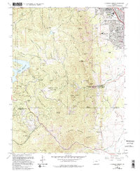
1965 Map of Eldorado Springs
USGS Topo · Published 1994About this map
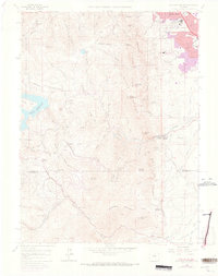
Eldorado Springs and the southern edge of Boulder define this landscape during a period of transition between wilderness and scientific expansion in the mid-1960s. The presence of the National Center for Atmospheric Research on the mesa contrasts with the rural character of mountain settlements like Magnolia and Crescent Village. The terrain is dominated by the dramatic uplift of The Flatirons, Green Mountain, and South Boulder Peak, which separate the urbanizing plains from the high-country resources of Walker Ranch Park and the Roosevelt National Forest. Historic industry and community life are grounded in numerous small schools such as Mesa Sch and Coal Creek Sch, alongside several Claypits and the Gross Reservoir dam system. This survey documents the complex topography and early conservation efforts that eventually became Eldorado Canyon State Park.
Find a feature on this map
69 named features on this map. Tap any name to fly to it.
Don’t see what you’re looking for? This feature index may not catch every label — zoom into the map to look around manually.
Map Details
Editions of this 1965 Eldorado Springs Map
8 editions found
Other maps of this area

1899 · West Denver
USGS Topo · 1:125,000

1902 · Boulder
USGS Topo · 1:62,500

1904 · Niwot
USGS Topo · 1:62,500

1904 · Boulder
USGS Topo · 1:62,500

1906 · Blackhawk
USGS Topo · 1:62,500

1939 · Golden
USGS Topo · 1:24,000

1942 · Eldorado Springs
USGS Topo · 1:24,000

1942 · Golden
USGS Topo · 1:31,680

1942 · Louisville
USGS Topo · 1:31,680

1942 · Tungsten
USGS Topo · 1:24,000