
1900 Map of Elkton
USGS Topo · Published 1900About this map
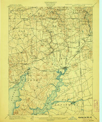
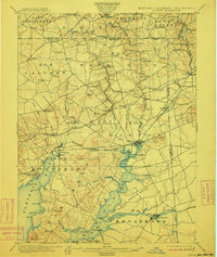
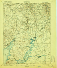
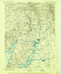
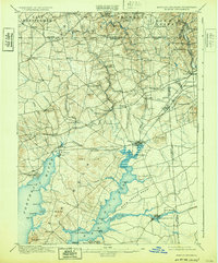
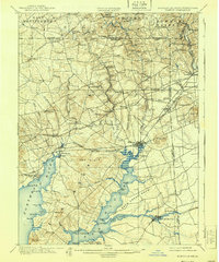
Elk River and the Northeast River dominate this turn-of-the-century landscape, converging at the head of the Chesapeake Bay. The map captures a vital transportation corridor where the Baltimore and Ohio and Philadelphia Wilmington and Baltimore railroads intersect at Elkton. The presence of the Chesapeake & Delaware Canal near the Pivot Bridge illustrates the importance of maritime and inland trade routes connecting the Delaware and Chesapeake watersheds during this era. Numerous small settlements like Singerly, McClellandville, and Glen Hope dot the terrain between ridges like Egg Hill and Iron Hill. The detailed shoreline mapping, including Elkton Landing and various points like Welch Pt., provides a clear view of the tidewater region before modern development reshaped these coastal fringes.
Find a feature on this map
97 named features on this map. Tap any name to fly to it.
Don’t see what you’re looking for? This feature index may not catch every label — zoom into the map to look around manually.
Map Details
Editions of this 1900 Elkton Map
7 editions found
Other maps of this area

1898 · Elkton
USGS Topo · 1:62,500

1898 · Tolchester
USGS Topo · 1:125,000

1899 · Dover
USGS Topo · 1:125,000

1900 · Cecilton
USGS Topo · 1:62,500

1900 · Havre De Grace
USGS Topo · 1:62,500

1900 · Betterton
USGS Topo · 1:62,500

1901 · West Chester
USGS Topo · 1:62,500

1903 · Tolchester
USGS Topo · 1:125,000

1904 · West Chester
USGS Topo · 1:62,500

1904 · Coatesville
USGS Topo · 1:62,500