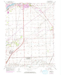
1953 Map of Elwood
USGS Topo · Published 1974About this map
The Joliet Arsenal dominates the southwestern portion of this mid-century landscape, illustrating the significant military footprint in Will County during the postwar era. The village of Elwood sits at the intersection of critical transit corridors, bordered by a dense network of rail lines including the Gulf Mobile and Ohio and the U S Government Railroad. The geography is defined by the winding paths of Jackson Creek and Prairie Creek, while the Des Plaines River and its associated industrial quarries anchor the northwestern corner. Scattered rural educational landmarks like North Ridge Sch and Brown Sch highlight the dispersed agricultural community structure that existed alongside heavy government and transport infrastructure. Updated features in purple show the expansion of Joliet's southern fringes near Wilhelmi Airport and Sugar Run.
Find a feature on this map
29 named features on this map. Tap any name to fly to it.
Don’t see what you’re looking for? This feature index may not catch every label — zoom into the map to look around manually.
Map Details
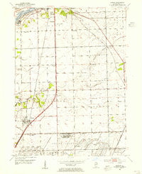
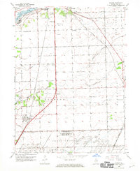
Editions of this 1953 Elwood Map
3 editions found
Other maps of this area

1890 · Des Plaines
USGS Topo · 1:62,500

1892 · Joliet
USGS Topo · 1:62,500

1892 · Wilmington
USGS Topo · 1:62,500

1894 · Des Plaines
USGS Topo · 1:62,500

1900 · Des Plaines
USGS Topo · 1:62,500

1901 · Des Plaines
USGS Topo · 1:62,500

1918 · Wilmington
USGS Topo · 1:62,500

1923 · Joliet
USGS Topo · 1:62,500

1929 · Brisbane
USGS Topo · 1:24,000
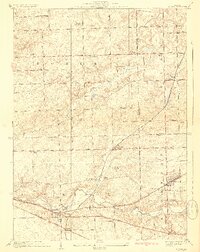
1929 · Mokena
USGS Topo · 1:24,000