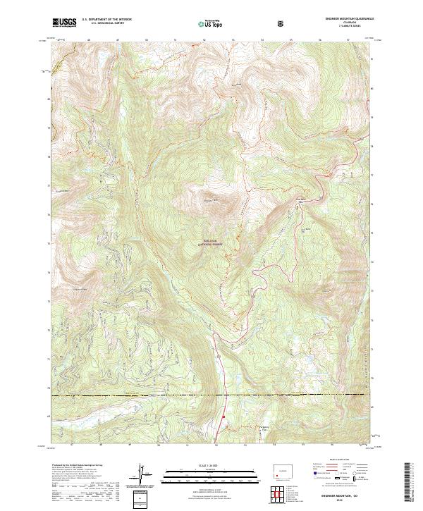
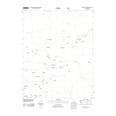
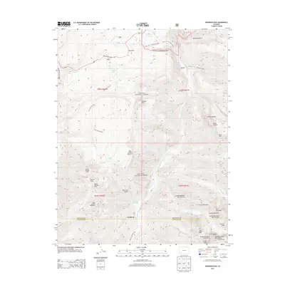
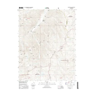
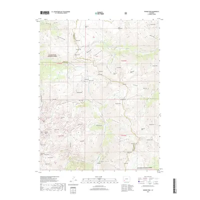
2022 Map of Engineer Mountain
USGS Topo · Published 2022About this map
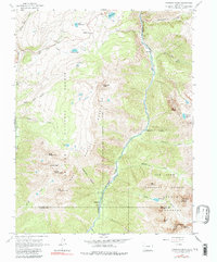
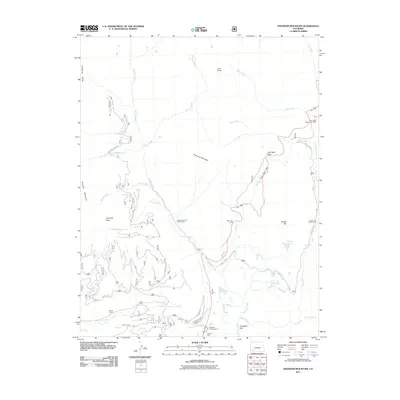
Engineer Mtn stands as a central focal point within the high-elevation reaches of the San Juan National Forest, where the borders of San Juan, Dolores, and La Plata counties converge. This survey documents the complex network of trails that define mountain transit, including the Engineer Mountain Trl and the historic Rico-Silverton - Co Trail Trl. The landscape is defined by its dramatic verticality, from the broad Hermosa Park and Purgatory Flat in the south to sharp peaks like Jura Knob and Grayrock Peak in the north. Water drainage patterns are clearly established by Cascade Cr and Lime Cr, which carve through the terrain near landmarks like Coal Bank Pass and Coal Bank Hill. These features, along with several high-altitude lakes such as Potato Lake and Scout Lake, illustrate the geography of this part of the San Juan Mountains.
Find a feature on this map
45 named features on this map. Tap any name to fly to it.
Don’t see what you’re looking for? This feature index may not catch every label — zoom into the map to look around manually.
Map Details
Editions of this 2022 Engineer Mountain Map
This is the sole edition of this map. No revisions or reprints were ever made.
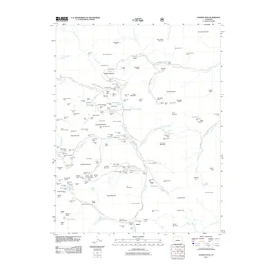
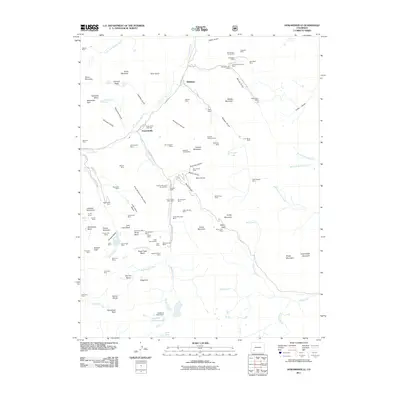
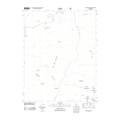
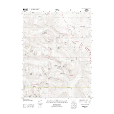
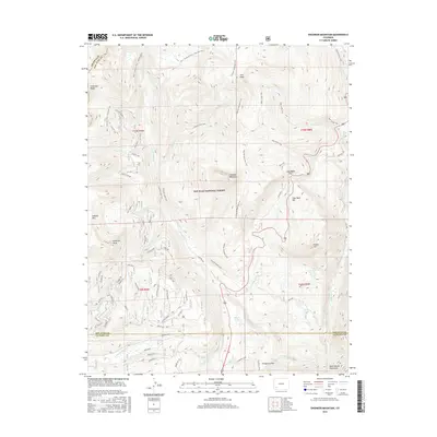
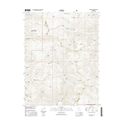
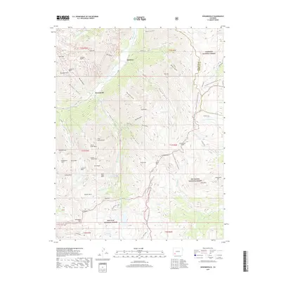
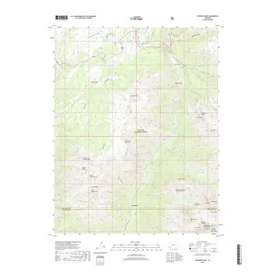
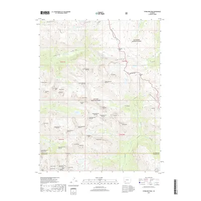
Historical Maps of La Plata County Through Time
32 maps found
1955 Handies Peak
San Juan County, CO
1955 Howardsville
San Juan County, CO
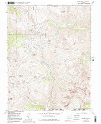
1960 Engineer Mountain
San Juan County, CO
1964 Snowdon Peak
San Juan County, CO
1964 Storm King Peak
San Juan County, CO
2001 Howardsville
San Juan County, CO
2001 Storm King Peak
San Juan County, CO
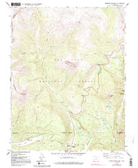
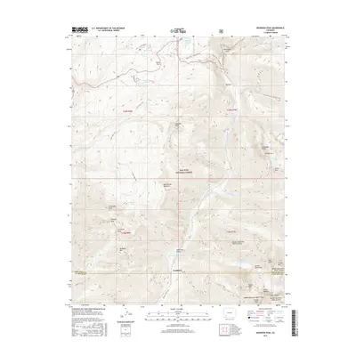
2011 Engineer Mountain
San Juan County, CO
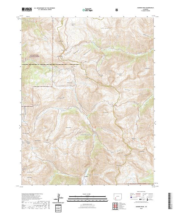
2011 Handies Peak
San Juan County, CO
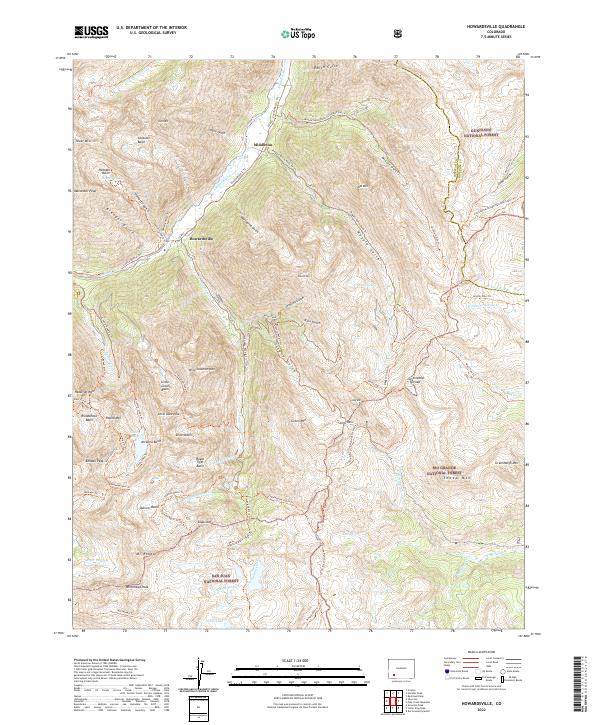
2011 Howardsville
San Juan County, CO
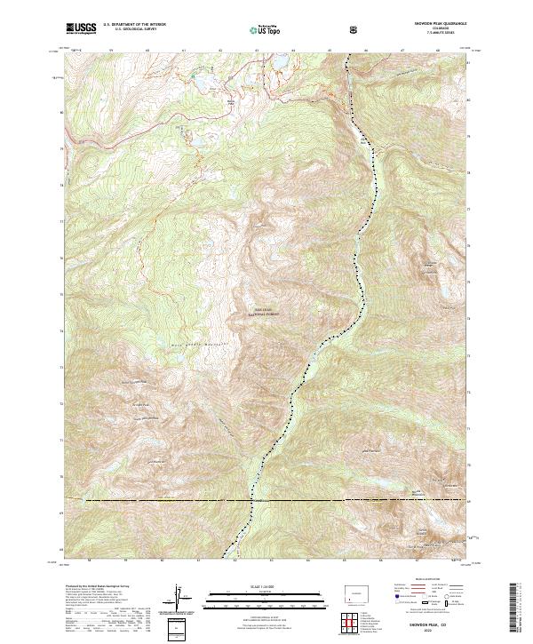
2011 Snowdon Peak
San Juan County, CO
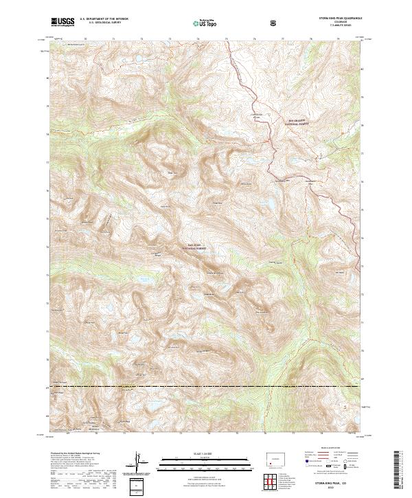
2011 Storm King Peak
San Juan County, CO
2013 Engineer Mountain
San Juan County, CO
2013 Handies Peak
San Juan County, CO
2013 Howardsville
San Juan County, CO
2013 Snowdon Peak
San Juan County, CO
2013 Storm King Peak
San Juan County, CO
2016 Engineer Mountain
San Juan County, CO
2016 Handies Peak
San Juan County, CO
2016 Howardsville
San Juan County, CO
2016 Snowdon Peak
San Juan County, CO
2016 Storm King Peak
San Juan County, CO
2019 Engineer Mountain
San Juan County, CO
2019 Handies Peak
San Juan County, CO
2019 Howardsville
San Juan County, CO
2019 Snowdon Peak
San Juan County, CO
2019 Storm King Peak
San Juan County, CO
2022 Engineer Mountain
San Juan County, CO
2022 Handies Peak
San Juan County, CO
2022 Howardsville
San Juan County, CO
2022 Snowdon Peak
San Juan County, CO
2022 Storm King Peak
San Juan County, CO