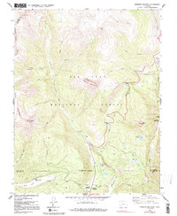
1960 Map of Engineer Mountain
USGS Topo · Published 1992About this map
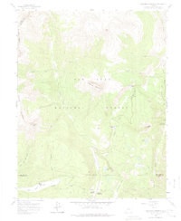
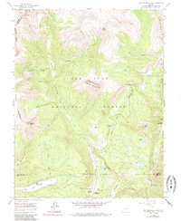
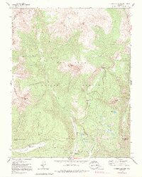
Engineer Mountain dominates the high country of the San Juan National Forest, where steep drainages and mountain ridges define the border between San Juan, La Plata, and Dolores counties. The 1960 landscape reflects a mix of early alpine tourism and vital water infrastructure, most notably the water management system indicated by an aqueduct, Siphon, and flume located near the headwaters of Cascade Creek. While much of the terrain is accessible only by a pack trail or the Highline Trail, more established sites like the Columbine Ranger Sta and Mill Creek Lodge suggest the area's role as a seasonal base for forest management and mountain travel. Family names and local history are preserved in labels for Harris Ranch and prominent peaks like Grayrock Peak and Graysill Mountain.
Find a feature on this map
45 named features on this map. Tap any name to fly to it.
Don’t see what you’re looking for? This feature index may not catch every label — zoom into the map to look around manually.
Map Details
Editions of this 1960 Engineer Mountain Map
7 editions found
Other maps of this area

1897 · Telluride
USGS Topo · 1:62,500

1897 · Silverton
USGS Topo · 1:62,500

1898 · Engineer Mountain
USGS Topo · 1:62,500

1900 · Engineer Mountain
USGS Topo · 1:62,500

1900 · Needle Mountains
USGS Topo · 1:62,500

1901 · Silverton
USGS Topo · 1:62,500

1902 · Needle Mountains
USGS Topo · 1:62,500

1902 · Silverton
USGS Topo · 1:62,500

1904 · Telluride
USGS Topo · 1:62,500

1908 · Engineer Mountain
USGS Topo · 1:62,500