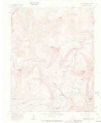
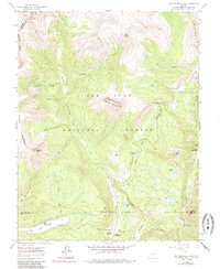
1960 Map of Engineer Mountain
USGS Topo · Published 1962About this map
Engineer Mountain towers over this high-altitude landscape within the San Juan National Forest, where the topography is defined by sharp peaks and deep drainages like Cascade Creek and Lime Creek. In the early 1960s, this area served as a critical corridor for mountain transit and seasonal activity, anchored by the Coal Bank Pass and the steep grade of Coal Bank Hill.
Find a feature on this map
38 named features on this map. Tap any name to fly to it.
Don’t see what you’re looking for? This feature index may not catch every label — zoom into the map to look around manually.
Map Details
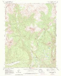
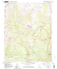
Editions of this 1960 Engineer Mountain Map
7 editions found
Other maps of this area

1897 · Telluride
USGS Topo · 1:62,500

1897 · Silverton
USGS Topo · 1:62,500

1898 · Engineer Mountain
USGS Topo · 1:62,500

1900 · Engineer Mountain
USGS Topo · 1:62,500

1900 · Needle Mountains
USGS Topo · 1:62,500

1901 · Silverton
USGS Topo · 1:62,500

1902 · Needle Mountains
USGS Topo · 1:62,500

1902 · Silverton
USGS Topo · 1:62,500

1904 · Telluride
USGS Topo · 1:62,500

1908 · Engineer Mountain
USGS Topo · 1:62,500