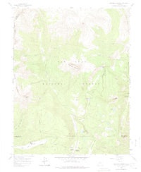
1960 Map of Engineer Mountain
USGS Topo · Published 1974About this map
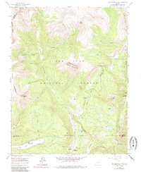
Engineer Mountain dominates this portion of the San Juan National Forest, where the high-altitude landscape of southwestern Colorado is defined by drainage systems and technical surveying boundaries. The map records the meeting of San Juan, Dolores, and La Plata counties, marked by an Indefinite Boundary south of the mountain peak. Human activity is concentrated along the corridors of the Aqueduct and the winding route through Coal Bank Pass, with recreational and administrative outposts like the Columbine Ranger Sta and Mill Creek Lodge providing early nodes for mountain access.
Find a feature on this map
44 named features on this map. Tap any name to fly to it.
Don’t see what you’re looking for? This feature index may not catch every label — zoom into the map to look around manually.
Map Details
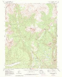
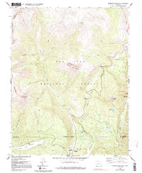
Editions of this 1960 Engineer Mountain Map
7 editions found
Other maps of this area

1897 · Telluride
USGS Topo · 1:62,500

1897 · Silverton
USGS Topo · 1:62,500

1898 · Engineer Mountain
USGS Topo · 1:62,500

1900 · Engineer Mountain
USGS Topo · 1:62,500

1900 · Needle Mountains
USGS Topo · 1:62,500

1901 · Silverton
USGS Topo · 1:62,500

1902 · Needle Mountains
USGS Topo · 1:62,500

1902 · Silverton
USGS Topo · 1:62,500

1904 · Telluride
USGS Topo · 1:62,500

1908 · Engineer Mountain
USGS Topo · 1:62,500