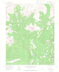
1960 Map of Engineer Mountain
USGS Topo · Published 1968About this map
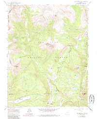
Engineer Mountain dominates the center of this 1960 survey, serving as a prominent landmark at the intersection of San Juan National Forest and the county boundaries of San Juan, La Plata, and Dolores. The landscape reveals an era of high-altitude accessibility and early recreation, evidenced by the Mill Creek Lodge and several designated sites like the Columbine Ranger Sta and Purgatory Campground. The rugged topography is defined by sharp peaks such as Grayrock Peak and the lengthy Sliderock Ridge, with Coal Bank Pass providing a critical high-point transition for Route 550. Water management is notably represented by an aqueduct and siphon system near the southern boundary, while local landmarks like Harris Ranch and various named basins, including Purgatory Flats, reflect the varied human and natural history of this high San Juan mountain range.
Find a feature on this map
41 named features on this map. Tap any name to fly to it.
Don’t see what you’re looking for? This feature index may not catch every label — zoom into the map to look around manually.
Map Details
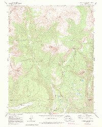
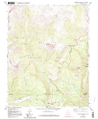
Editions of this 1960 Engineer Mountain Map
7 editions found
Other maps of this area

1897 · Telluride
USGS Topo · 1:62,500

1897 · Silverton
USGS Topo · 1:62,500

1898 · Engineer Mountain
USGS Topo · 1:62,500

1900 · Engineer Mountain
USGS Topo · 1:62,500

1900 · Needle Mountains
USGS Topo · 1:62,500

1901 · Silverton
USGS Topo · 1:62,500

1902 · Needle Mountains
USGS Topo · 1:62,500

1902 · Silverton
USGS Topo · 1:62,500

1904 · Telluride
USGS Topo · 1:62,500

1908 · Engineer Mountain
USGS Topo · 1:62,500