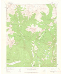
1960 Map of Engineer Mountain
USGS Topo · Published 1962About this map
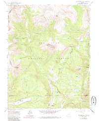
Engineer Mountain dominates the center of this high-elevation landscape within the San Juan National Forest, where the topography is defined by sharp peaks and steep glacial drainages. In the early 1960s, this area served primarily as a corridor for travel and forest management, evidenced by the Columbine Ranger Sta and a network of named routes including the Highline Trail and various jeep tracks. The presence of Harris Ranch and Mill Creek Lodge suggests a mix of private holding and seasonal recreational use in an otherwise uninhabited alpine environment.
Find a feature on this map
40 named features on this map. Tap any name to fly to it.
Don’t see what you’re looking for? This feature index may not catch every label — zoom into the map to look around manually.
Map Details
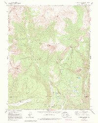
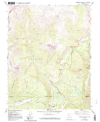
Editions of this 1960 Engineer Mountain Map
7 editions found
Other maps of this area

1897 · Telluride
USGS Topo · 1:62,500

1897 · Silverton
USGS Topo · 1:62,500

1898 · Engineer Mountain
USGS Topo · 1:62,500

1900 · Engineer Mountain
USGS Topo · 1:62,500

1900 · Needle Mountains
USGS Topo · 1:62,500

1901 · Silverton
USGS Topo · 1:62,500

1902 · Needle Mountains
USGS Topo · 1:62,500

1902 · Silverton
USGS Topo · 1:62,500

1904 · Telluride
USGS Topo · 1:62,500

1908 · Engineer Mountain
USGS Topo · 1:62,500