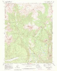
1960 Map of Engineer Mountain
USGS Topo · Published 1992About this map
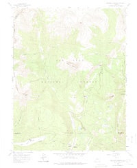
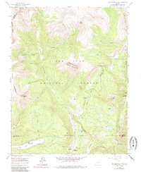
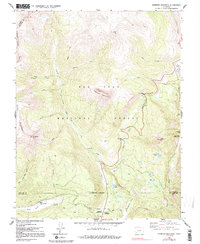
Engineer Mountain dominates the center of this San Juan high-country landscape, where the 1960s terrain is marked by a complex system of water management and high-altitude transit. An Aqueduct, Flume, and Siphon follow the contours of the mountain slopes above Cascade Creek, illustrating the infrastructure required to move water through this vertical environment. Further south, the map reveals the small-scale settlement at Harris Ranch along the East Fork Hermosa Creek, providing a rare point of private habitation within the broader San Juan National Forest.
Find a feature on this map
42 named features on this map. Tap any name to fly to it.
Don’t see what you’re looking for? This feature index may not catch every label — zoom into the map to look around manually.
Map Details
Editions of this 1960 Engineer Mountain Map
7 editions found
Other maps of this area

1897 · Telluride
USGS Topo · 1:62,500

1897 · Silverton
USGS Topo · 1:62,500

1898 · Engineer Mountain
USGS Topo · 1:62,500

1900 · Engineer Mountain
USGS Topo · 1:62,500

1900 · Needle Mountains
USGS Topo · 1:62,500

1901 · Silverton
USGS Topo · 1:62,500

1902 · Needle Mountains
USGS Topo · 1:62,500

1902 · Silverton
USGS Topo · 1:62,500

1904 · Telluride
USGS Topo · 1:62,500

1908 · Engineer Mountain
USGS Topo · 1:62,500