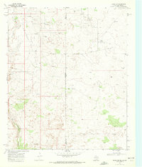
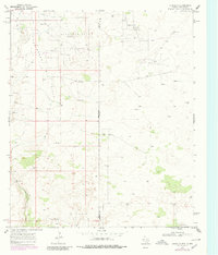
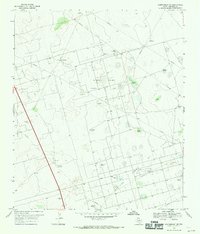
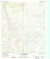
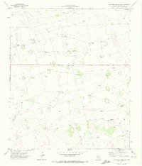
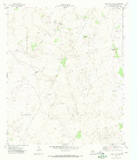
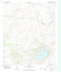
1969 Map of Eunice SE
USGS Topo · Published 1972This historical map portrays the area of Eunice SE in 1969, primarily covering Andrews County as well as portions of New Mexico. Featuring a scale of 1:24000, this map provides a highly detailed snapshot of the terrain, roads, buildings, counties, and historical landmarks in the Eunice SE region at the time. Published in 1972, it is one of 3 known editions of this map due to revisions or reprints.
Find a feature on this map
14 named features on this map. Tap any name to fly to it.
Don’t see what you’re looking for? This feature index may not catch every label — zoom into the map to look around manually.
Map Details
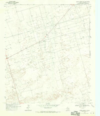
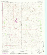
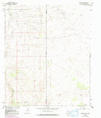
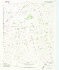
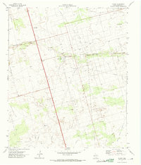
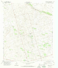
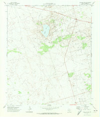
Editions of this 1969 Eunice SE Map
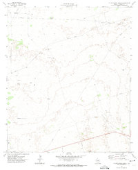
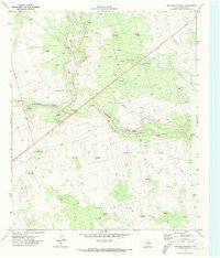
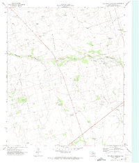
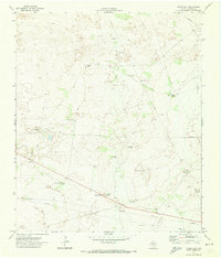
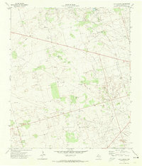
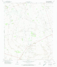
Historical Maps of Lea County Through Time
20 maps found
1968 Baird Lake
Andrews County, TX
1968 Clabber Hill Ranch
Andrews County, TX
1968 Gardendale NW
Andrews County, TX
1968 North Cowden NW
Andrews County, TX
1969 Eunice NE
Andrews County, TX
1969 Eunice SE
Andrews County, TX
1969 Jal NE
Andrews County, TX
1971 Figure Seven Ranch
Andrews County, TX
1971 Five Wells Ranch
Andrews County, TX
1971 Five Wells Ranch NW
Andrews County, TX
1971 Five Wells Ranch SE
Andrews County, TX
1971 Five Wells Ranch SW
Andrews County, TX
1971 Florey
Andrews County, TX
1971 Frankel City
Andrews County, TX
1971 Frankel City SW
Andrews County, TX
1971 Jumbo Hill
Andrews County, TX
1971 Lazy X Ranch
Andrews County, TX
1971 Sand Ranch
Andrews County, TX
1971 Shafter Lake
Andrews County, TX
1971 Whalen Lake
Andrews County, TX