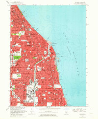
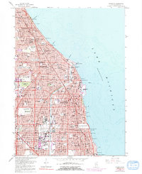
1963 Map of Evanston
USGS Topo · Published 1964About this map
Lake Michigan's western shoreline defines this urban corridor, where the residential grids of Evanston and Wilmette meet the northern edge of Chicago. The 1963 revision documents a densely settled landscape shaped by significant academic and religious institutions, most notably the expansive lakefront campus of Northwestern University and the grounds of Loyola University to the south. Further inland, the map captures the community centers of Winnetka, Kenilworth, and Skokie, showing a complex infrastructure of rail lines including the Chicago and North Western and the Chicago North Shore and Milwaukee. A unique historical marker, the Indian Boundary Treaty Line, cuts diagonally across the southern townships, while large green spaces like Memorial Park Cemetery and Calvary Cemetery provide a stark contrast to the surrounding residential blocks and the busy thoroughfares of Sheridan Road and Hibbard Road.
Find a feature on this map
59 named features on this map. Tap any name to fly to it.
Don’t see what you’re looking for? This feature index may not catch every label — zoom into the map to look around manually.
Map Details
Editions of this 1963 Evanston Map
5 editions found
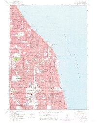
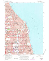
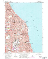
Other maps of this area

1889 · Chicago
USGS Topo · 1:62,500

1891 · Chicago
USGS Topo · 1:62,500

1891 · Riverside
USGS Topo · 1:62,500

1893 · Riverside
USGS Topo · 1:62,500

1899 · Evanston
USGS Topo · 1:62,500

1900 · Chicago
USGS Topo · 1:62,500

1900 · Riverside
USGS Topo · 1:62,500

1900 · Highwood
USGS Topo · 1:62,500

1901 · Riverside
USGS Topo · 1:62,500

1901 · Chicago
USGS Topo · 1:62,500