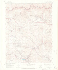
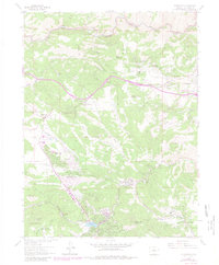
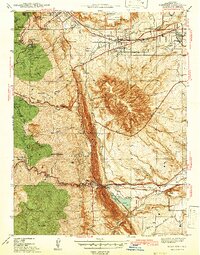
1965 Map of Evergreen
USGS Topo · Published 1967About this map
Evergreen and the surrounding Front Range foothills are shown here during a period of mid-century residential growth and mountain recreation. The landscape is defined by its series of deep gulches and canyons, such as Mount Vernon Canyon, which historically served as a vital gateway between the plains and the high country. At the center of the local community, Evergreen Lake sits near Dedisse Park, while smaller settlements like Kittredge and Troutdale follow the path of Bear Creek. The map documents a mix of established sites and newer developments, from the quiet grounds of Rockland Cem to the gathering spaces at Mt Vernon Club Place and Genesee Camp. High points like Genesee Mountain and Bald Mountain overlook a network of parklands, including Wah Keeney Park and O'Fallon Park, reflecting the area's transition into a regional recreational hub.
Find a feature on this map
51 named features on this map. Tap any name to fly to it.
Don’t see what you’re looking for? This feature index may not catch every label — zoom into the map to look around manually.
Map Details
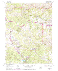
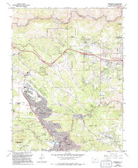
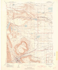
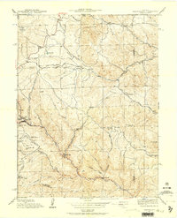
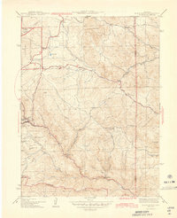
Editions of this 1965 Evergreen Map
8 editions found
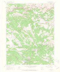
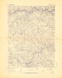
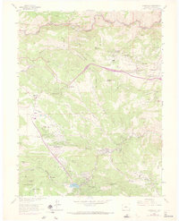

Other maps of this area

1899 · West Denver
USGS Topo · 1:125,000

1906 · Blackhawk
USGS Topo · 1:62,500
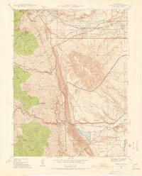
1938 · Morrison
USGS Topo · 1:24,000
1939 · Golden
USGS Topo · 1:24,000
1942 · Morrison
USGS Topo · 1:31,680

1942 · Golden
USGS Topo · 1:31,680
1942 · Black Hawk
USGS Topo · 1:24,000

1942 · Ralston Buttes
USGS Topo · 1:24,000
1944 · Black Hawk
USGS Topo · 1:31,680

1944 · Ralston Buttes
USGS Topo · 1:31,680