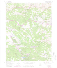
1965 Map of Evergreen
USGS Topo · Published 1980About this map
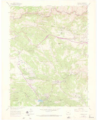
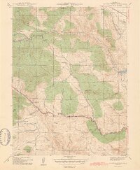
Evergreen Lake anchors the southern landscape of this region, where the community of Evergreen serves as a gateway to the mountainous terrain west of Denver. The settlement pattern follows the drainages and canyons, with residential growth expanding into Hiwan Hills and Indian Hills by the mid-1960s. The map illustrates a transition from established mountain retreats like Troutdale and the Mt Vernon Club Place to more modern developments such as Paradise Hills and Cody Park.
Find a feature on this map
63 named features on this map. Tap any name to fly to it.
Don’t see what you’re looking for? This feature index may not catch every label — zoom into the map to look around manually.
Map Details
Editions of this 1965 Evergreen Map
8 editions found
Other maps of this area

1899 · West Denver
USGS Topo · 1:125,000

1906 · Blackhawk
USGS Topo · 1:62,500

1938 · Morrison
USGS Topo · 1:24,000

1939 · Golden
USGS Topo · 1:24,000

1942 · Morrison
USGS Topo · 1:31,680

1942 · Golden
USGS Topo · 1:31,680

1942 · Black Hawk
USGS Topo · 1:24,000

1942 · Ralston Buttes
USGS Topo · 1:24,000

1944 · Black Hawk
USGS Topo · 1:31,680
1944 · Ralston Buttes
USGS Topo · 1:31,680