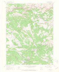
1965 Map of Evergreen
USGS Topo · Published 1967About this map
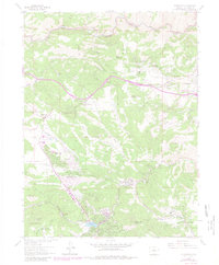
Evergreen and the Evergreen Lake reservoir serve as the focal point for this mid-1960s survey of the Colorado Front Range. The landscape is defined by its extensive park system, which includes Dedisse Park, O'Fallon Park, and Pence Park, reflecting a mid-century commitment to public recreation and mountain conservation. The settlement pattern follows the drainage of Bear Creek and Clear Creek, with tight clusters of development at Kittredge and Bergen Park.
Find a feature on this map
52 named features on this map. Tap any name to fly to it.
Don’t see what you’re looking for? This feature index may not catch every label — zoom into the map to look around manually.
Map Details
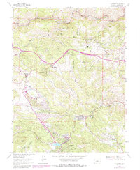
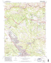
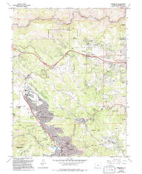
Editions of this 1965 Evergreen Map
8 editions found
Other maps of this area

1899 · West Denver
USGS Topo · 1:125,000

1906 · Blackhawk
USGS Topo · 1:62,500

1938 · Morrison
USGS Topo · 1:24,000

1939 · Golden
USGS Topo · 1:24,000

1942 · Morrison
USGS Topo · 1:31,680

1942 · Golden
USGS Topo · 1:31,680

1942 · Black Hawk
USGS Topo · 1:24,000

1942 · Ralston Buttes
USGS Topo · 1:24,000

1944 · Black Hawk
USGS Topo · 1:31,680
1944 · Ralston Buttes
USGS Topo · 1:31,680