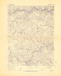
1965 Map of Evergreen
USGS Topo · Published 1967About this map
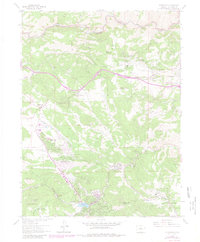
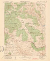
Evergreen sits at the heart of this mid-1960s survey, showing a landscape defined by the expansion of mountain residential clubs and recreational parks. The map traces the early development of communities like Hiwan Hills and Indian Hills, along with established landmarks such as the Mt Vernon Club Place. In the northern section, Clear Creek Canyon forms a deep natural boundary, while the central terrain is marked by prominent peaks including Genesee Mountain and Bald Mountain.
Find a feature on this map
44 named features on this map. Tap any name to fly to it.
Don’t see what you’re looking for? This feature index may not catch every label — zoom into the map to look around manually.
Map Details
Editions of this 1965 Evergreen Map
8 editions found
Other maps of this area

1899 · West Denver
USGS Topo · 1:125,000

1906 · Blackhawk
USGS Topo · 1:62,500

1938 · Morrison
USGS Topo · 1:24,000

1939 · Golden
USGS Topo · 1:24,000

1942 · Morrison
USGS Topo · 1:31,680

1942 · Golden
USGS Topo · 1:31,680

1942 · Black Hawk
USGS Topo · 1:24,000

1942 · Ralston Buttes
USGS Topo · 1:24,000

1944 · Black Hawk
USGS Topo · 1:31,680
1944 · Ralston Buttes
USGS Topo · 1:31,680