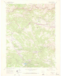
1965 Map of Evergreen
USGS Topo · Published 1973About this map
Evergreen and its neighboring foothill communities are captured in this mid-1960s survey, showing the early residential expansion into the canyon country west of Denver. The settlement pattern follows the drainages and ridges, with established hubs like Bergen Park, Kittredge, and the planned enclave of Mt Vernon Club Place. Evidence of the area's transition from rural ranching and mining to a mountain residential corridor is visible through features like the Rockland Cem and several school sites, including Bergen Sch and Evergreen Jr High Sch.
Find a feature on this map
71 named features on this map. Tap any name to fly to it.
Don’t see what you’re looking for? This feature index may not catch every label — zoom into the map to look around manually.
Map Details
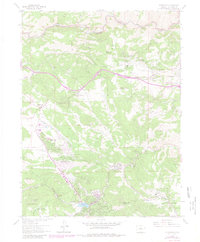
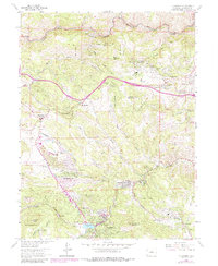
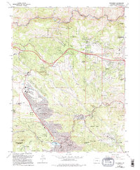
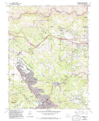
Editions of this 1965 Evergreen Map
8 editions found
Other maps of this area

1899 · West Denver
USGS Topo · 1:125,000

1906 · Blackhawk
USGS Topo · 1:62,500

1938 · Morrison
USGS Topo · 1:24,000

1939 · Golden
USGS Topo · 1:24,000

1942 · Morrison
USGS Topo · 1:31,680

1942 · Golden
USGS Topo · 1:31,680

1942 · Black Hawk
USGS Topo · 1:24,000

1942 · Ralston Buttes
USGS Topo · 1:24,000

1944 · Black Hawk
USGS Topo · 1:31,680
1944 · Ralston Buttes
USGS Topo · 1:31,680