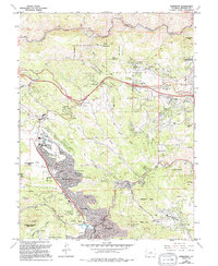
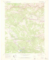
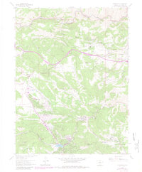
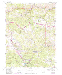
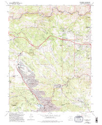
1965 Map of Evergreen
USGS Topo · Published 1994About this map
Evergreen sits at the heart of this mountain landscape, where Bear Creek flows toward the prominent Evergreen Lake. This 1965 survey, updated through the early 1990s, illustrates the residential growth of Jefferson County as former mountain resorts and ranch lands transitioned into permanent communities like Hiwan Hills and Paradise Hills. The infrastructure of the area is well-defined, showing the Evergreen Junior High Sch, the Ralston Sch, and the historical Rockland Cem near Mount Vernon.
Find a feature on this map
61 named features on this map. Tap any name to fly to it.
Don’t see what you’re looking for? This feature index may not catch every label — zoom into the map to look around manually.
Map Details
Editions of this 1965 Evergreen Map
8 editions found
Other maps of this area

1899 · West Denver
USGS Topo · 1:125,000

1906 · Blackhawk
USGS Topo · 1:62,500

1938 · Morrison
USGS Topo · 1:24,000

1939 · Golden
USGS Topo · 1:24,000

1942 · Morrison
USGS Topo · 1:31,680

1942 · Golden
USGS Topo · 1:31,680

1942 · Black Hawk
USGS Topo · 1:24,000

1942 · Ralston Buttes
USGS Topo · 1:24,000

1944 · Black Hawk
USGS Topo · 1:31,680
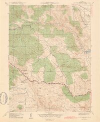
1944 · Ralston Buttes
USGS Topo · 1:31,680