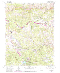
1965 Map of Evergreen
USGS Topo · Published 1988About this map
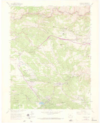
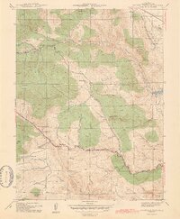
Evergreen and its neighboring mountain communities are situated at a time of significant transition on this Colorado Front Range survey. The settlement pattern follows the drainage of Bear Creek and its tributaries, with the village of Kittredge and the resort-like atmosphere of Troutdale flanking the centerpiece of Evergreen Lake. Higher up the terrain, the map documents the growth of residential clusters and recreational sites such as El Rancho, Cody Park, and the Mt Vernon Club Place.
Find a feature on this map
68 named features on this map. Tap any name to fly to it.
Don’t see what you’re looking for? This feature index may not catch every label — zoom into the map to look around manually.
Map Details
Editions of this 1965 Evergreen Map
8 editions found
Other maps of this area

1899 · West Denver
USGS Topo · 1:125,000

1906 · Blackhawk
USGS Topo · 1:62,500

1938 · Morrison
USGS Topo · 1:24,000

1939 · Golden
USGS Topo · 1:24,000

1942 · Morrison
USGS Topo · 1:31,680

1942 · Golden
USGS Topo · 1:31,680

1942 · Black Hawk
USGS Topo · 1:24,000

1942 · Ralston Buttes
USGS Topo · 1:24,000

1944 · Black Hawk
USGS Topo · 1:31,680
1944 · Ralston Buttes
USGS Topo · 1:31,680