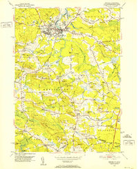
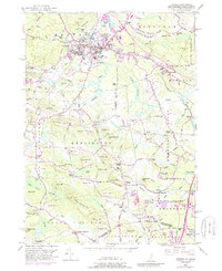
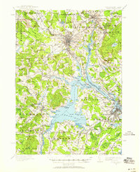
1950 Map of Exeter
USGS Topo · Published 1952About this map
Exeter serves as the focal point of this 1950s survey, showing the established town center and the Phillips Exeter Academy campus just as postwar development began to reach into the surrounding Rockingham County countryside. The Boston and Maine Railroad and the winding Squamscott River define the local transport and industrial corridor, supporting legacy sites like the Brickyard and Powderhouse Point.
Find a feature on this map
165 named features on this map. Tap any name to fly to it.
Don’t see what you’re looking for? This feature index may not catch every label — zoom into the map to look around manually.
Map Details
Editions of this 1950 Exeter Map
5 editions found
Other maps of this area
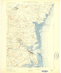
1888 · Newburyport
USGS Topo · 1:62,500
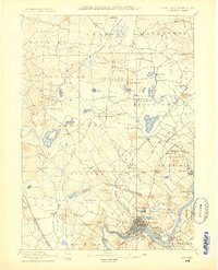
1888 · Haverhill
USGS Topo · 1:62,500
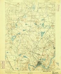
1890 · Haverhill
USGS Topo · 1:62,500
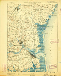
1890 · Newburyport
USGS Topo · 1:62,500
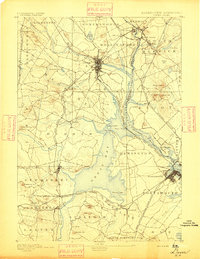
1893 · Dover
USGS Topo · 1:62,500
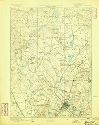
1893 · Haverhill
USGS Topo · 1:62,500
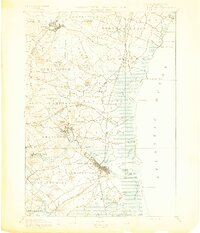
1894 · Newburyport
USGS Topo · 1:62,500
1916 · Dover
USGS Topo · 1:62,500
1917 · Mt. Pawtuckaway
USGS Topo · 1:62,500
1918 · Dover
USGS Topo · 1:62,500