
1956 Map of Favoretta
USGS Topo · Published 1960About this map
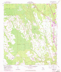
Hull Cypress Swamp and Lake Swamp dominate this mid-century landscape along the border of Flagler and Volusia counties. The settlement at Favoretta sits near the northern boundary, serving as a point of interest along the Florida East Coast rail line. This corridor, also traced by the Florida East Coast Telephone Line, represents the primary infrastructure through an otherwise saturated terrain of cypress and wetlands. The map captures a moment when the Tomoka Airport is already noted as abandoned, while the Old Dixie Highway and Relay Road provide the few reliable overland routes through the marshy interior. To the south, the headwaters of the Little Tomoka River and the winding Groover Branch illustrate the complex drainage patterns characteristic of the Florida lowlands before extensive modern development.
Find a feature on this map
15 named features on this map. Tap any name to fly to it.
Don’t see what you’re looking for? This feature index may not catch every label — zoom into the map to look around manually.
Map Details
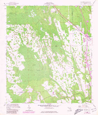
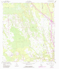
Editions of this 1956 Favoretta Map
5 editions found
Historical Maps of Daytona Beach Through Time
20 maps found

1927 Matanzas
Flagler County, FL

1937 Dinner Island
Flagler County, FL

1937 Ormond
Flagler County, FL

1943 Dinner Island
Flagler County, FL

1943 Matanzas
Flagler County, FL

1944 Dinner Island
Flagler County, FL

1944 Matanzas
Flagler County, FL
1944 Ormond
Flagler County, FL
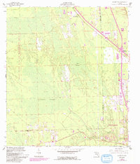
1956 Favoretta
Flagler County, FL
1956 Flagler Beach West
Flagler County, FL
1957 Espanola
Flagler County, FL
1970 Dinner Island
Flagler County, FL
1972 Codys Corner
Flagler County, FL
1972 St Johns Park
Flagler County, FL
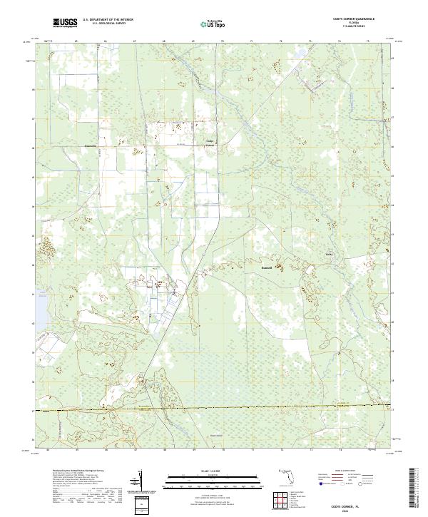
2024 Codys Corner
Flagler County, FL
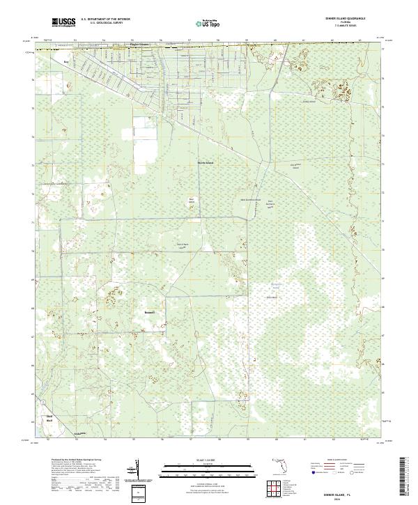
2024 Dinner Island
Flagler County, FL
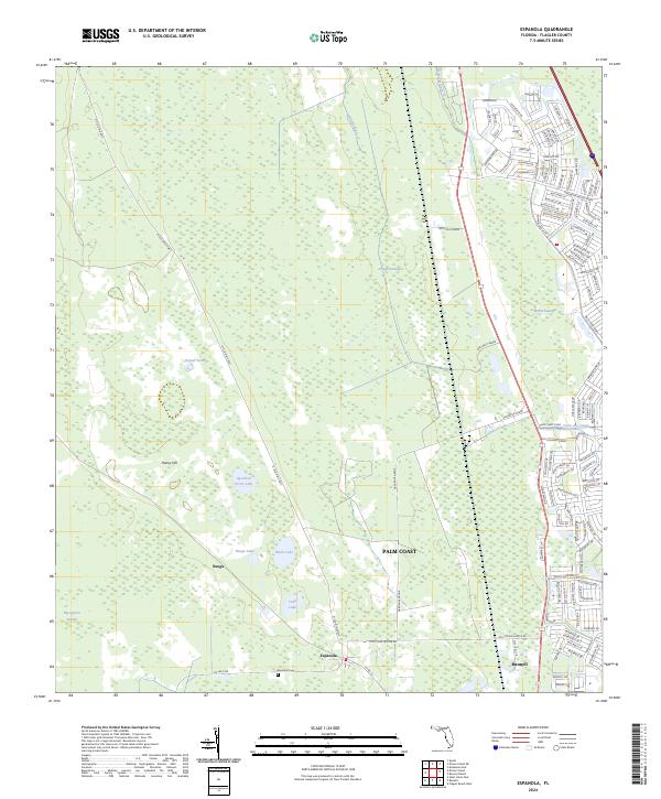
2024 Espanola
Flagler County, FL
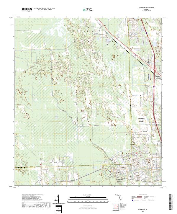
2024 Favoretta
Flagler County, FL
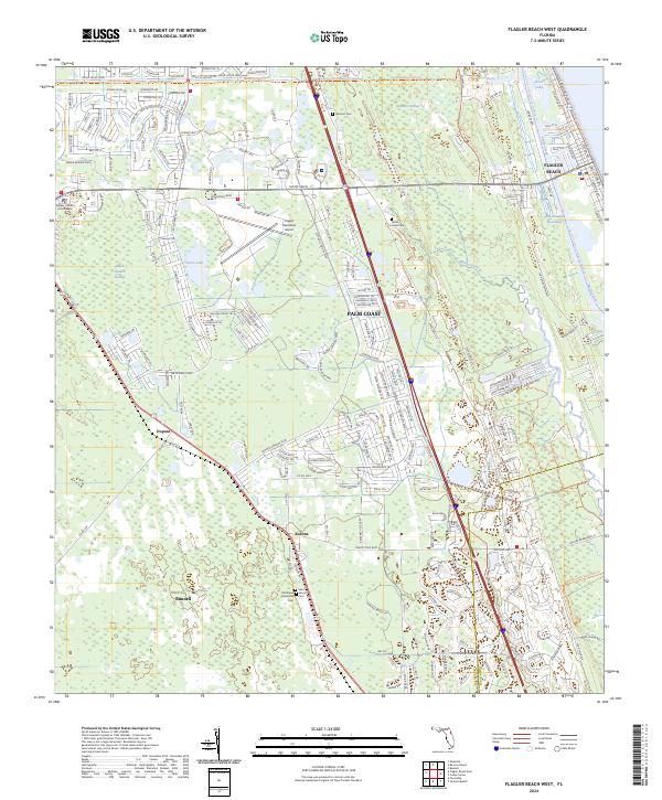
2024 Flagler Beach West
Flagler County, FL
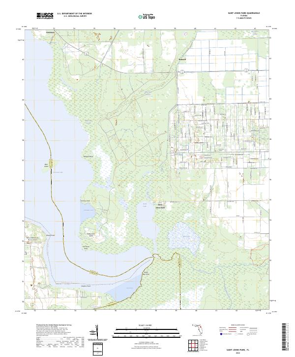
2024 Saint Johns Park
Flagler County, FL